Only nine more and we’ll be through…
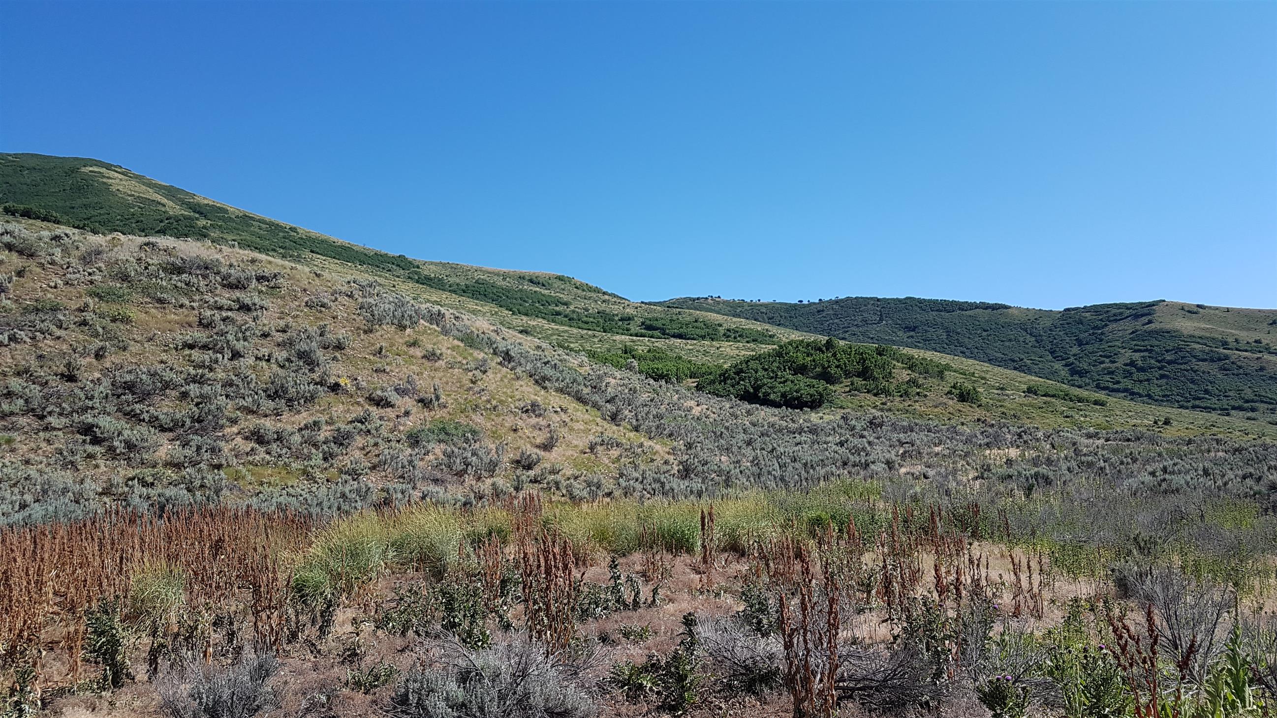
One of the major goals during this trip, was to find caches in the last 9 counties we hadn’t visited in Utah. We found caches in two of them on the way to Vernal (Daggett and Uintah).
If you don’t know anything about geocaching, you might think we took a strange route from Vernal to Bryce Canyon. But to us it made perfect sense!

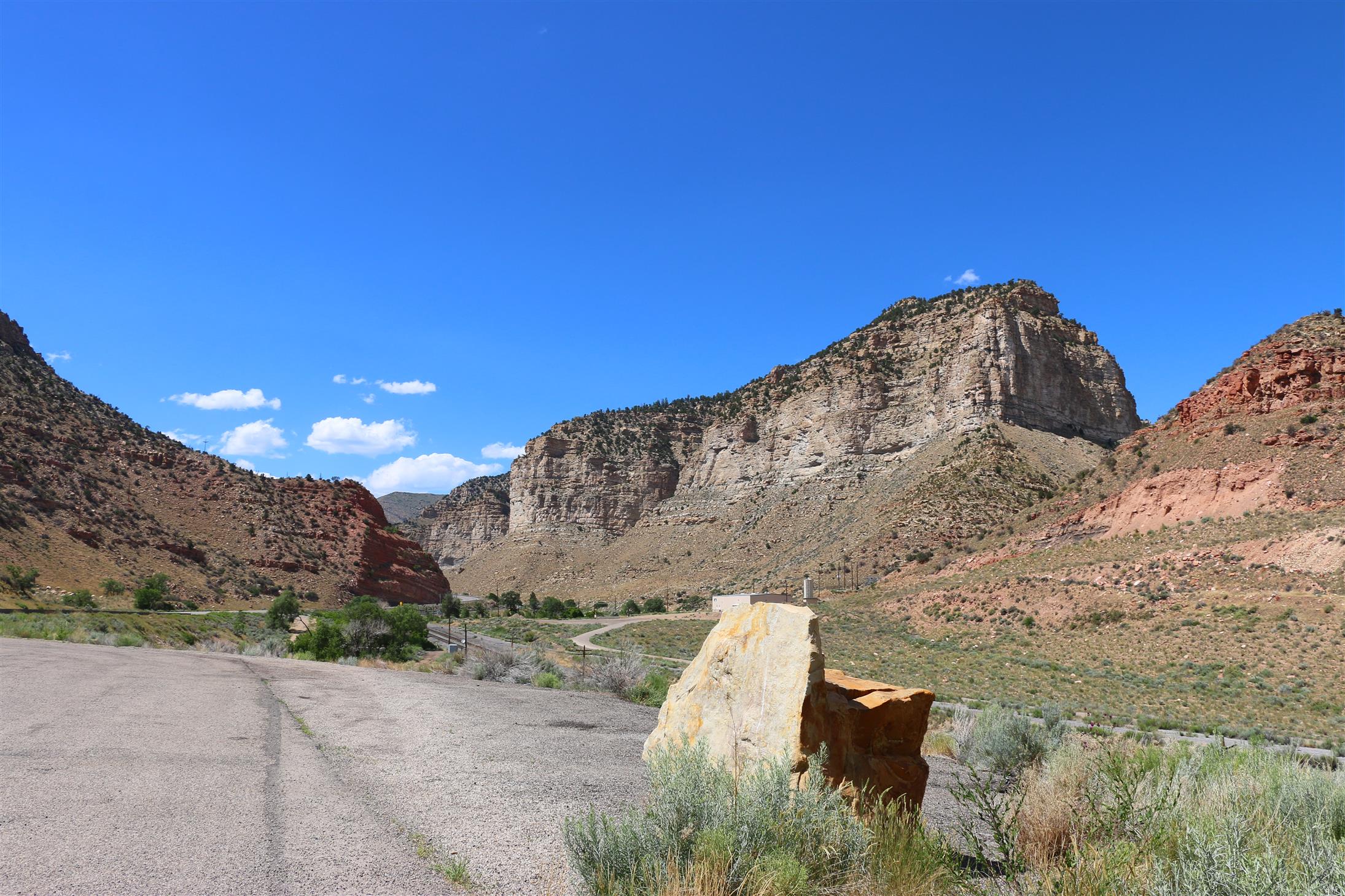
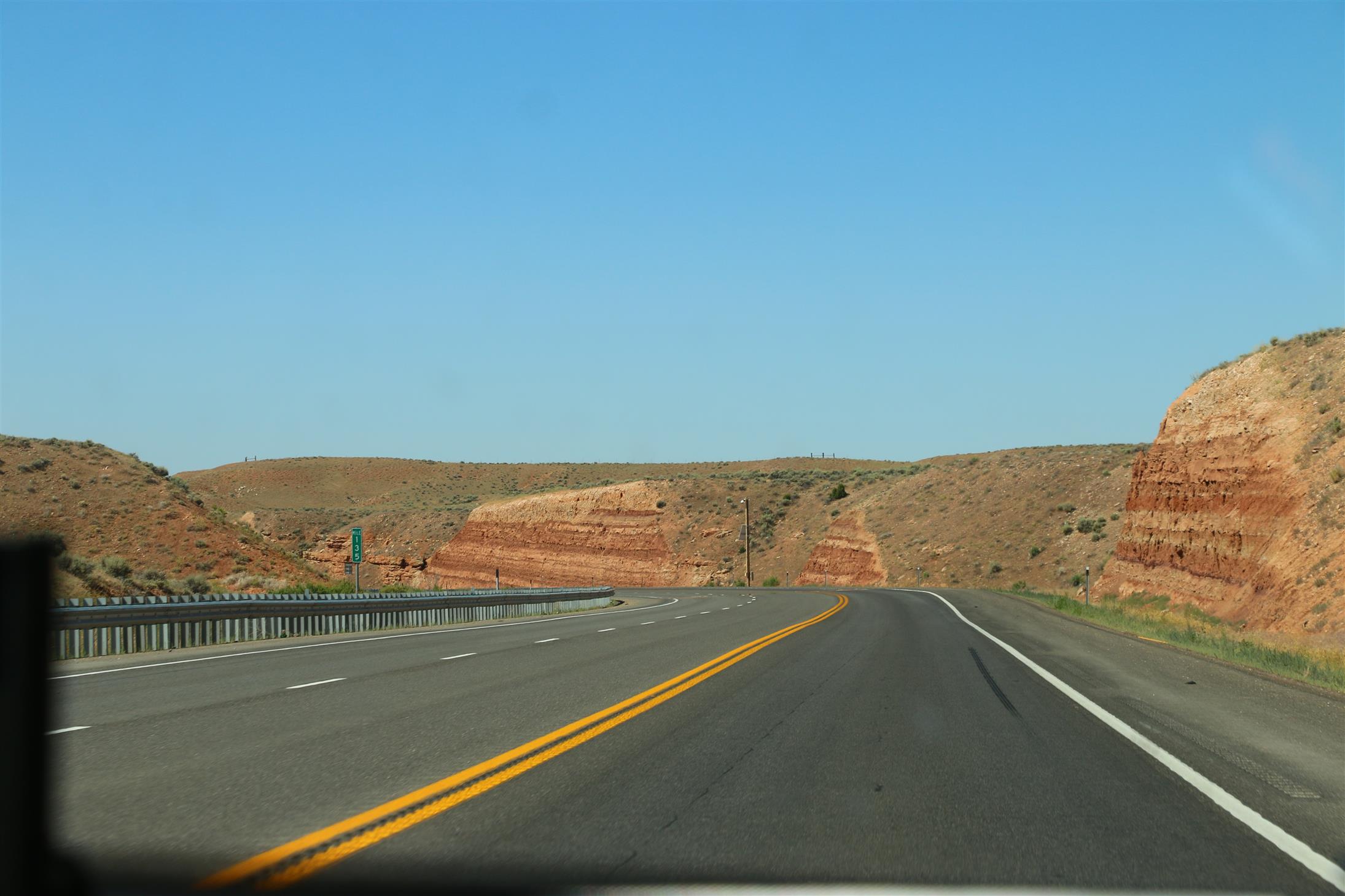
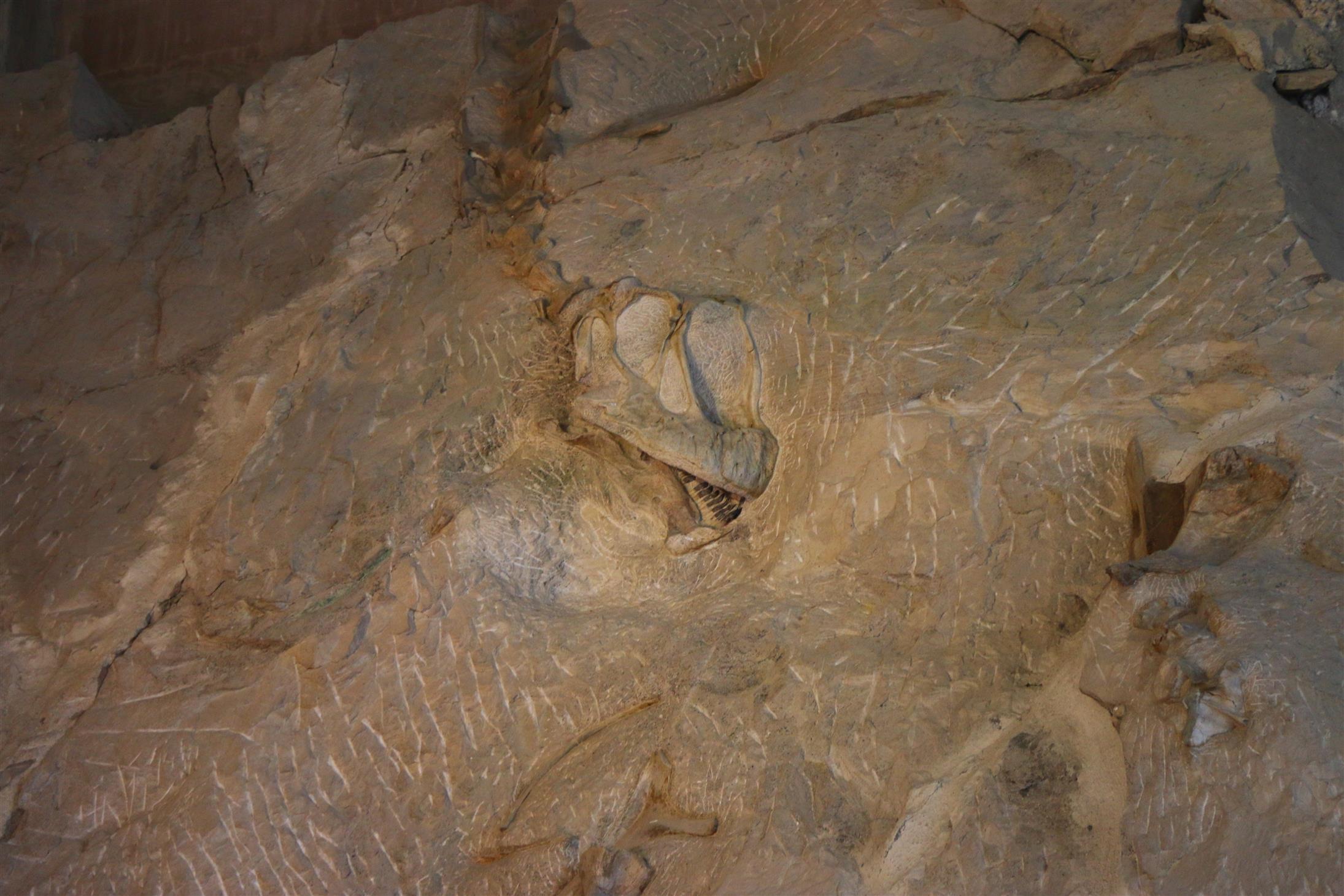
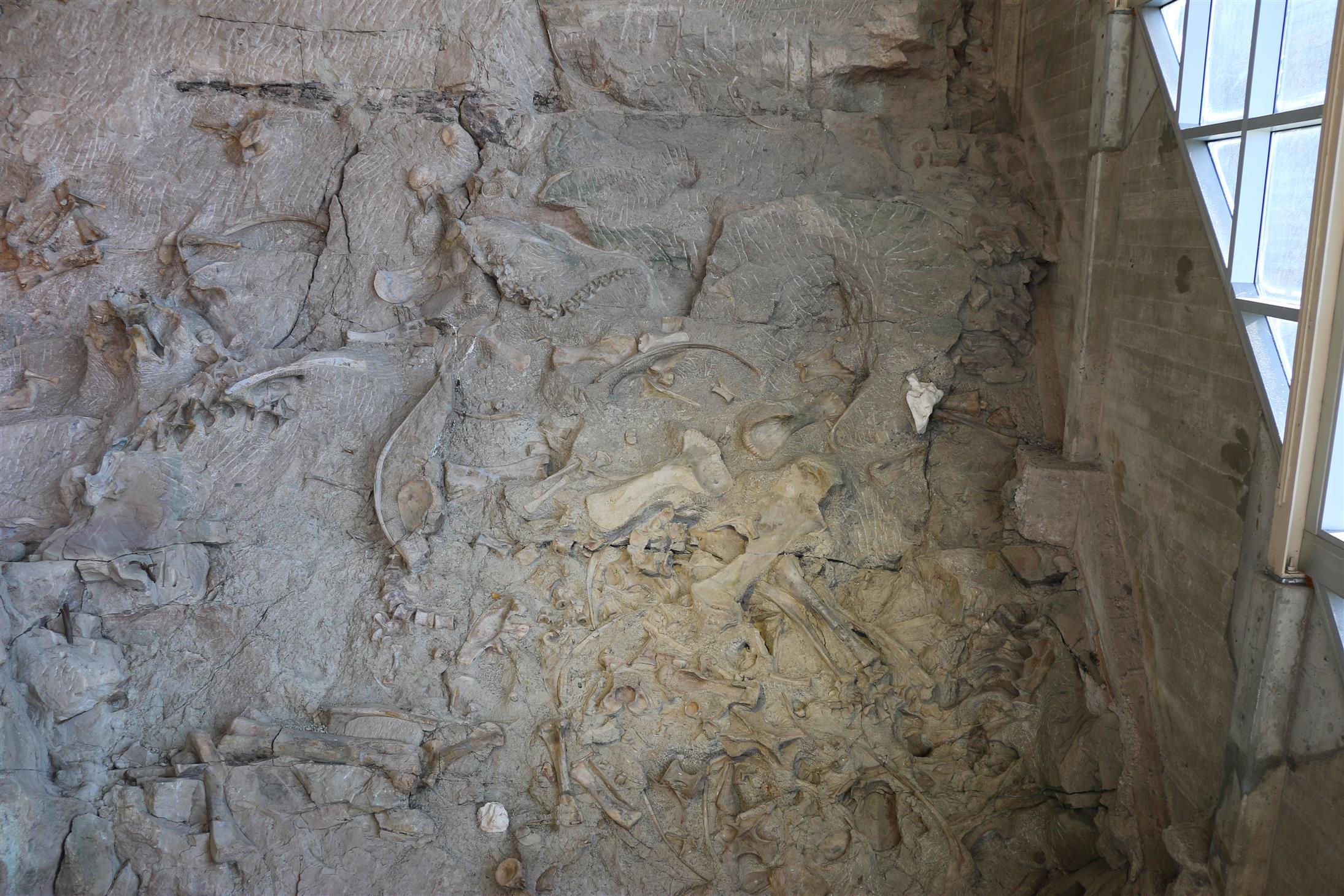
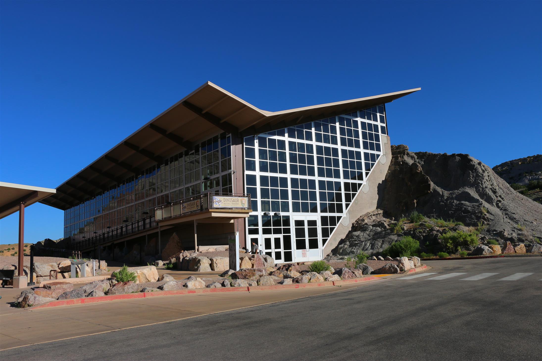
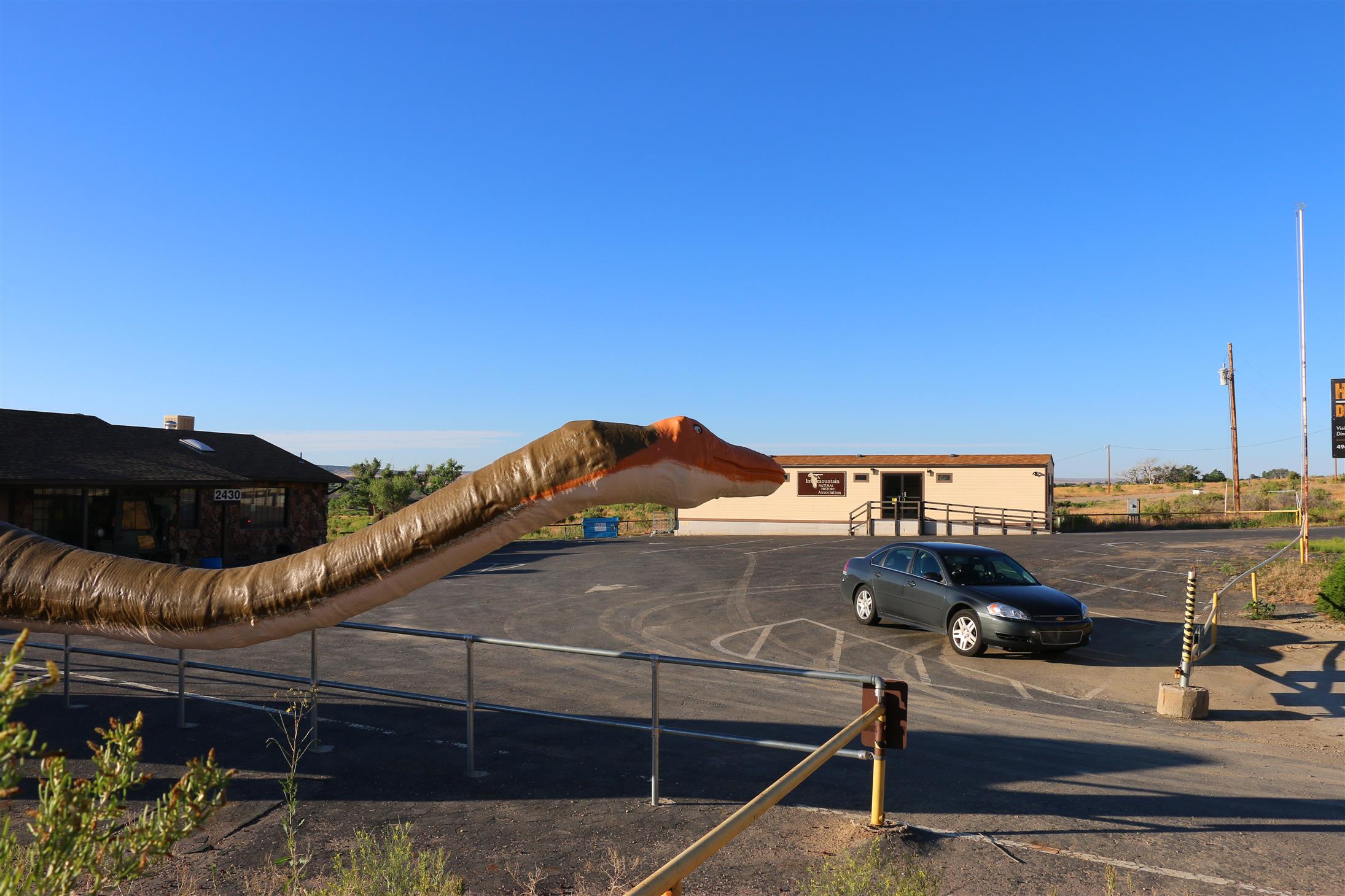
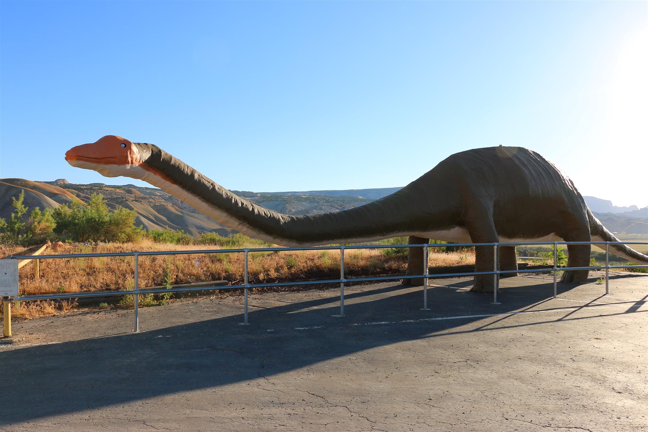
We couldn’t visit Vernal without visiting Dinosaur National Monument. But since we arrived so late, we visited Dinosaur NM early morning instead.
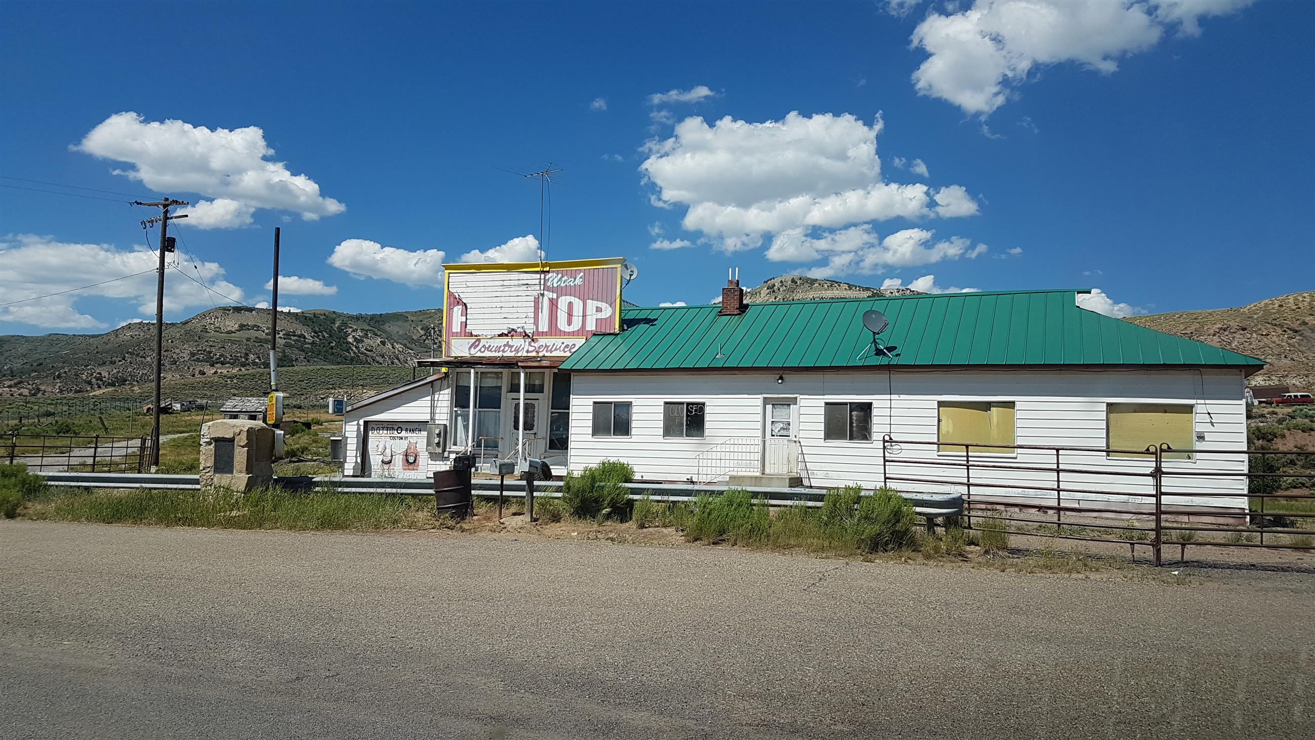
We arrived at the gate so early (even though we stopped for a GeoTour-cache along the way), that it was closed. We had planned to be there when they opened the quarry, so we could drive up ourselves.
We were the first persons allowed up there, and we got the enjoy the place almost alone! Awesome!
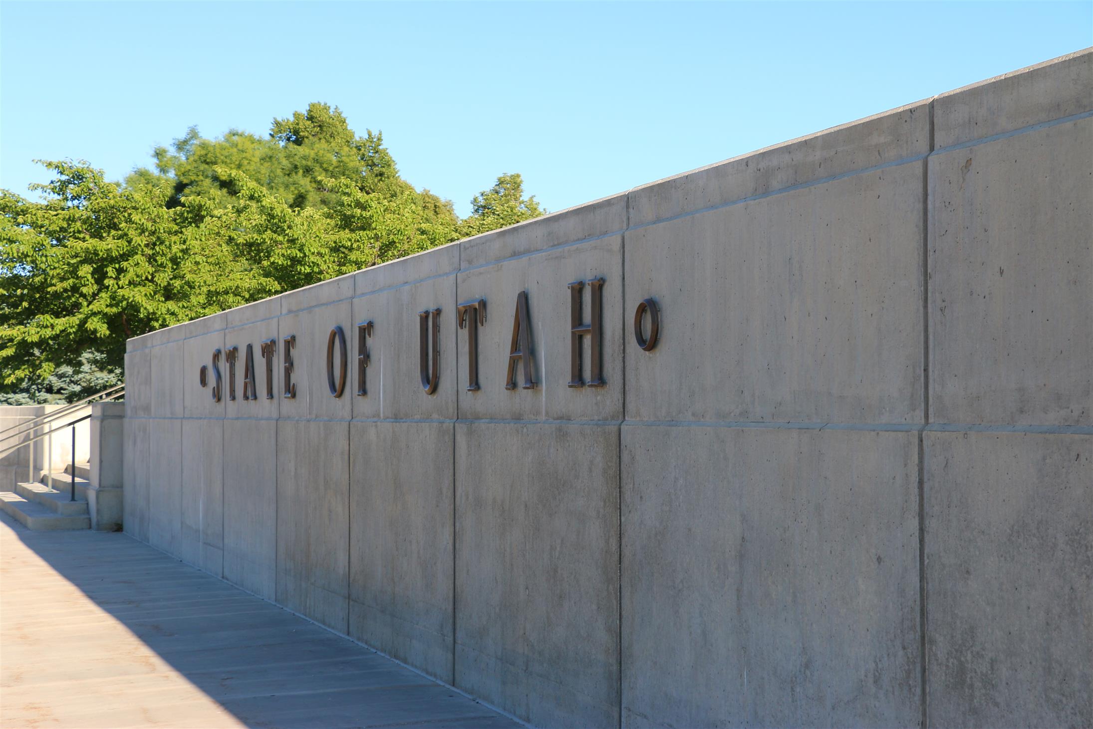
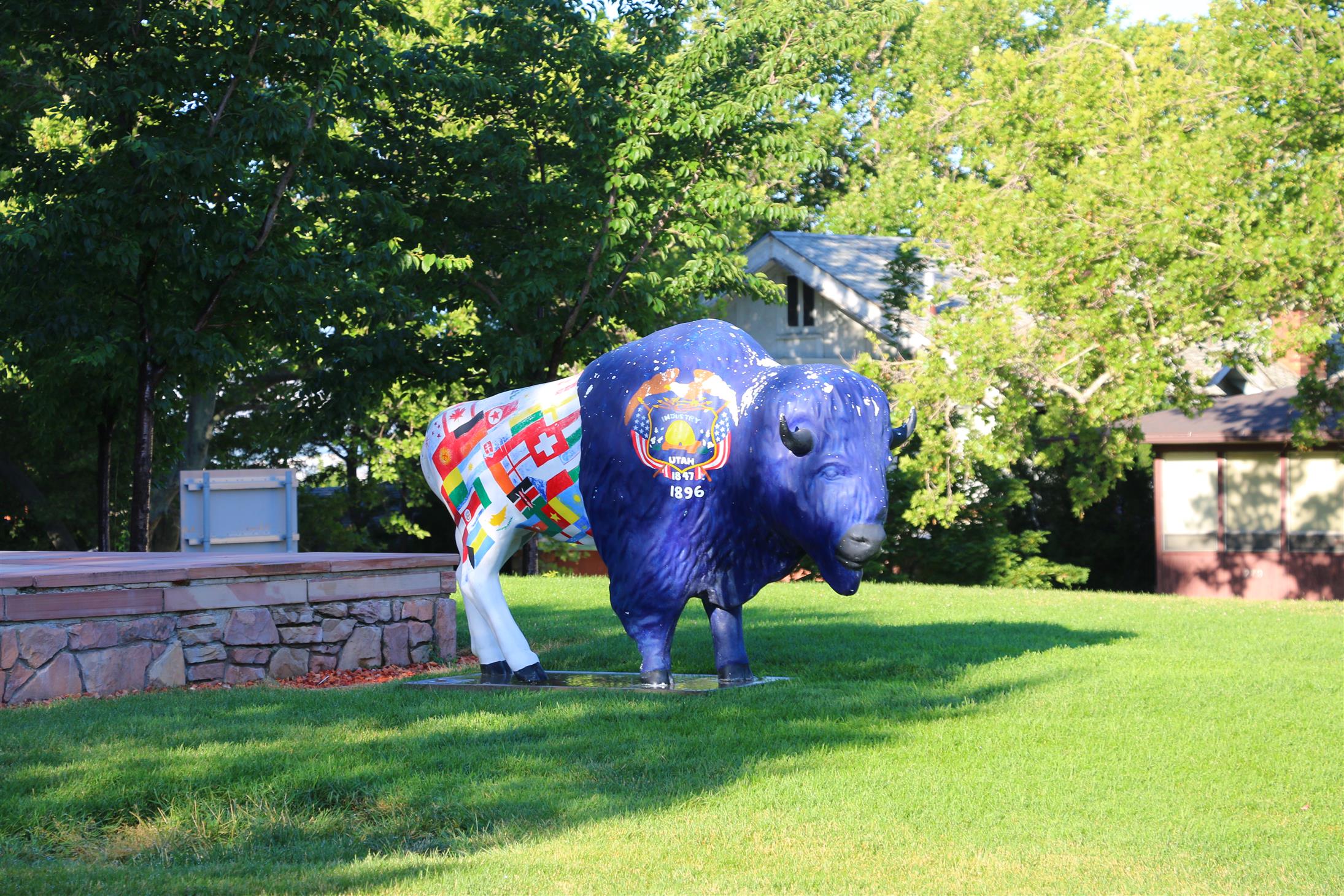
After the visit, we continued towards the Utah Welcome Center, we had a state sign we needed to photograph:
I think the Utah-signs are awesome – and I like that they are different depending on where you cross the border.
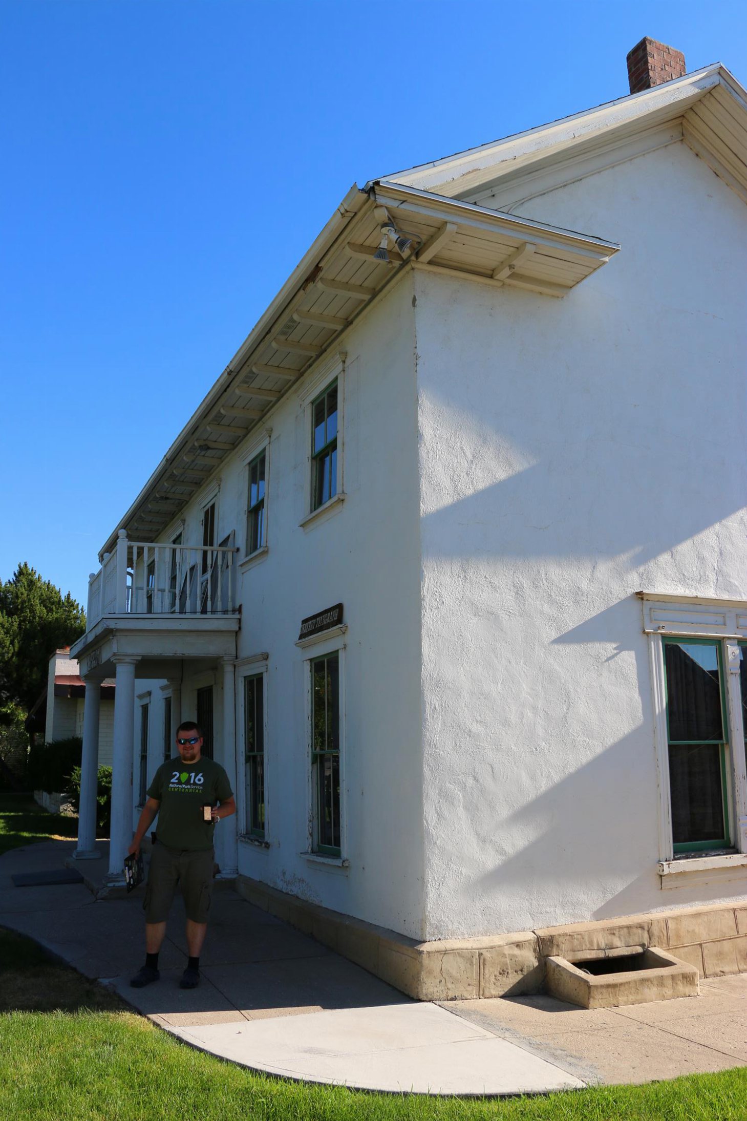
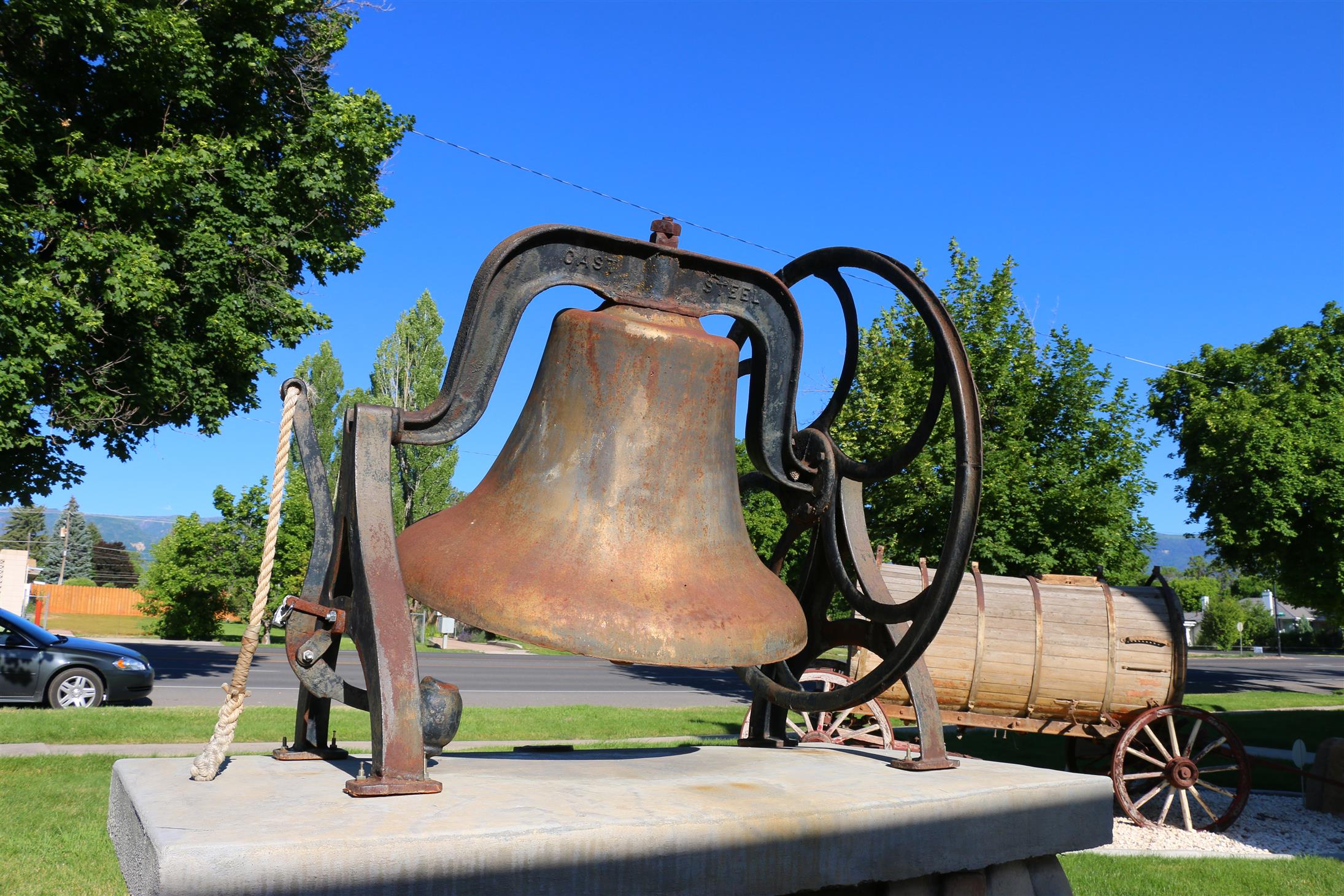
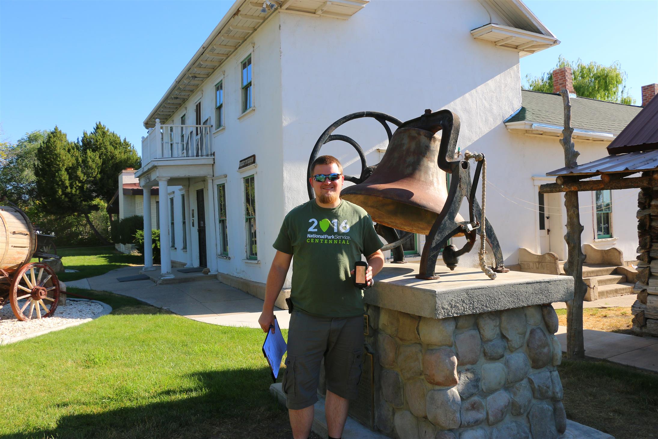
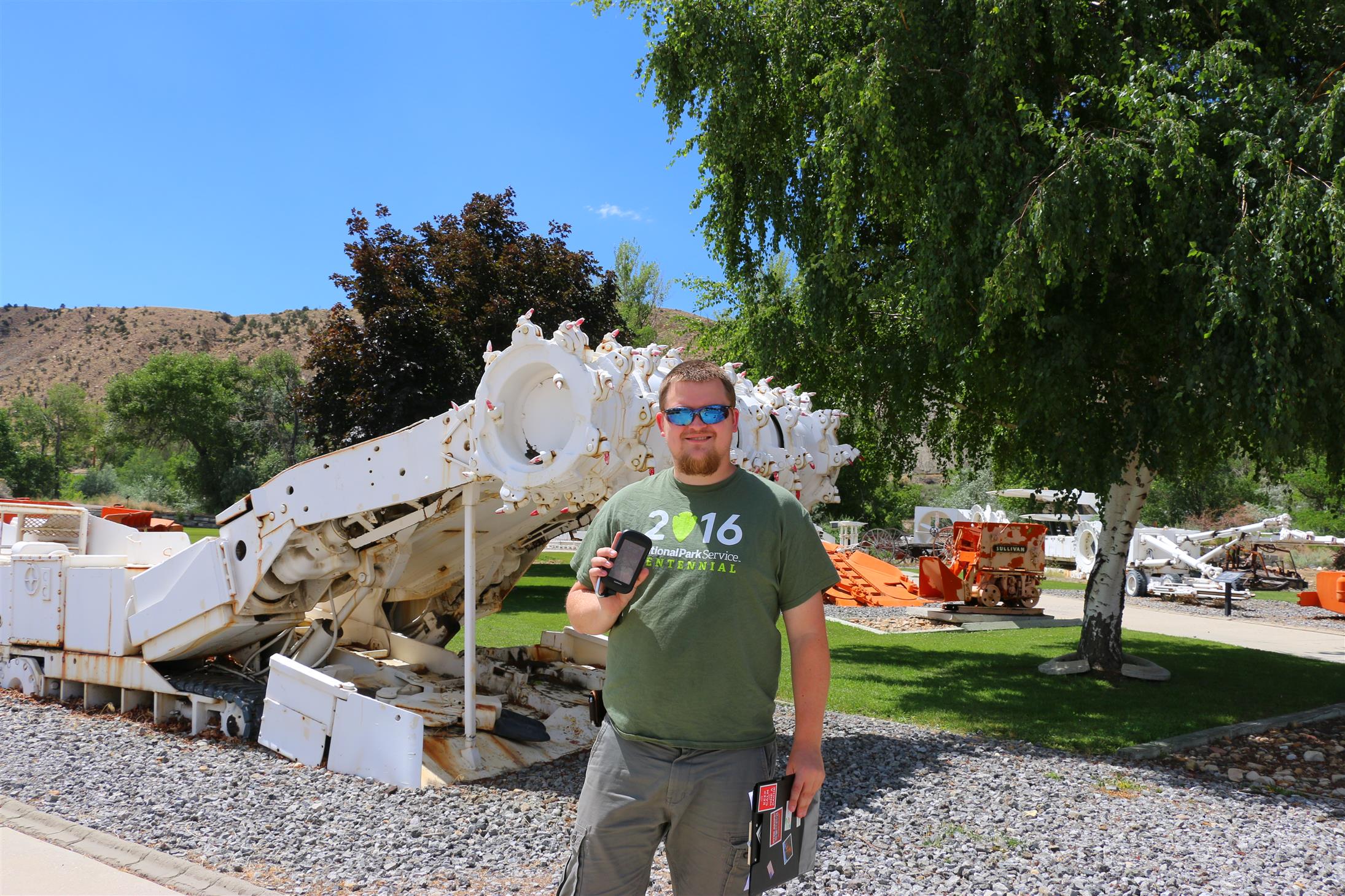
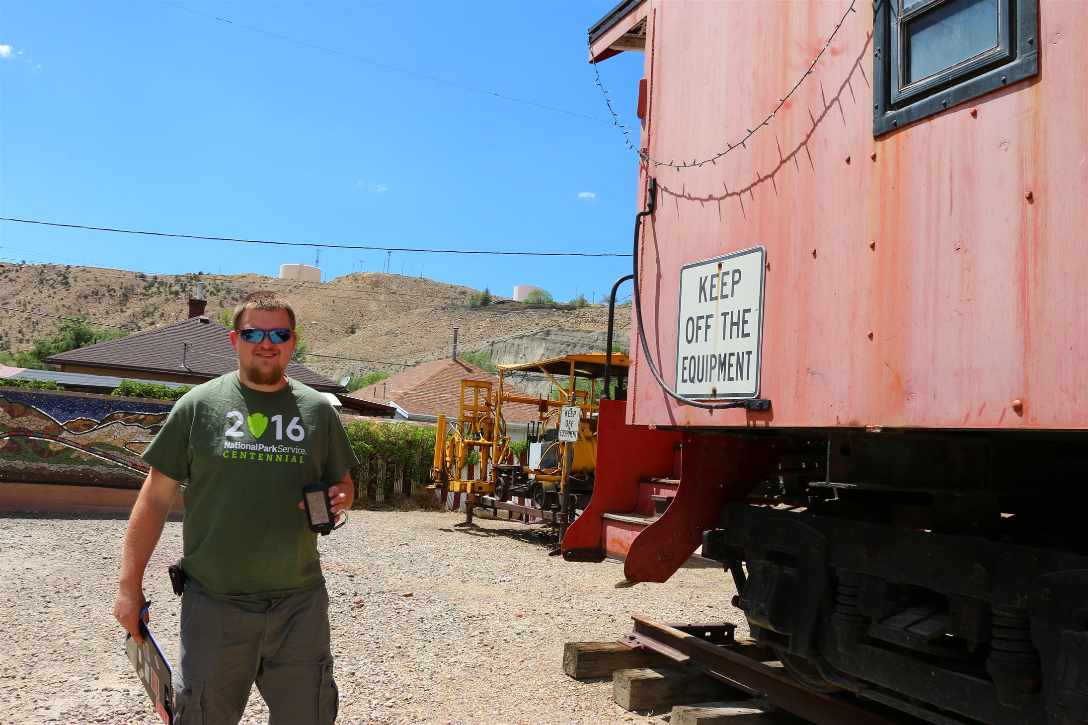
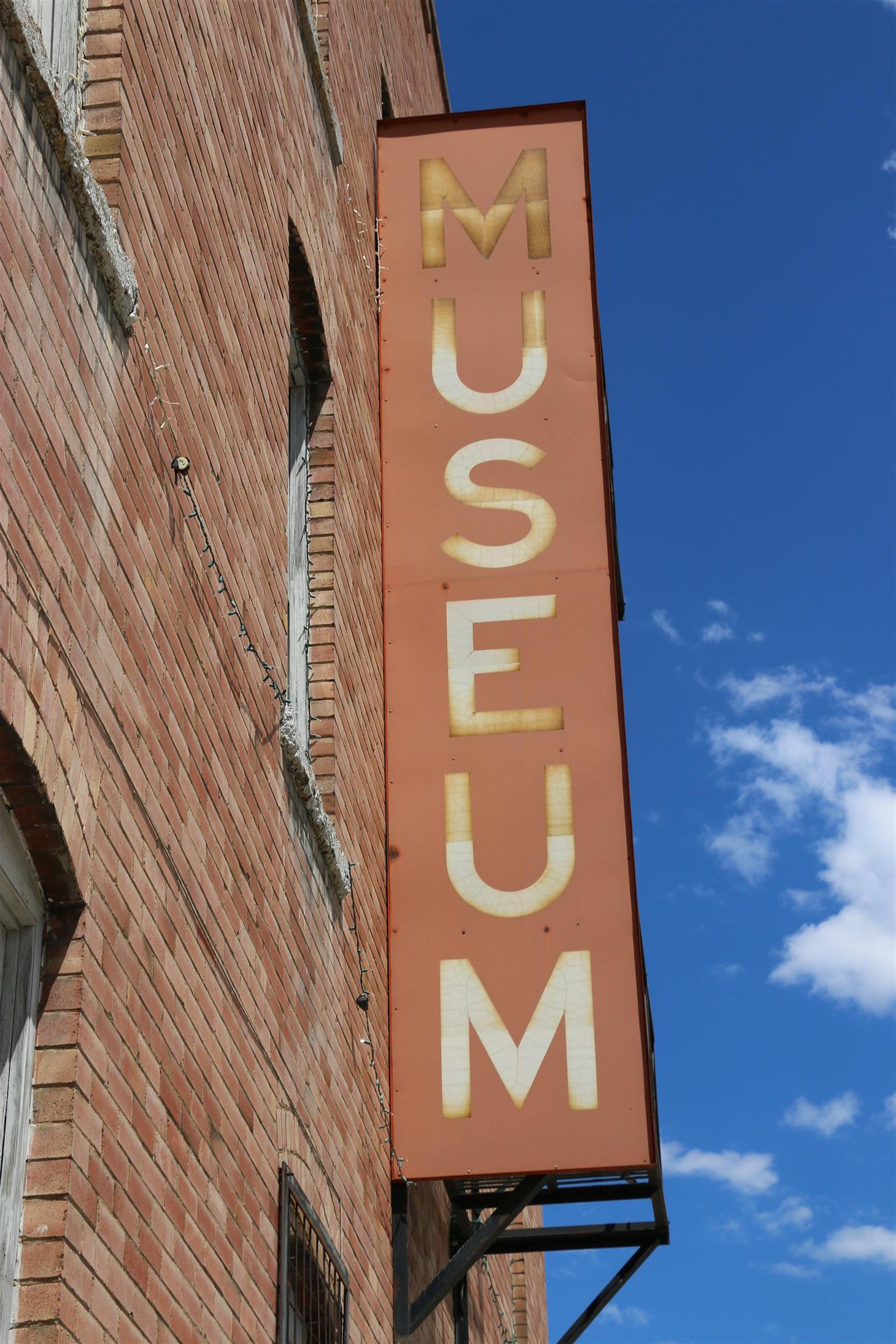
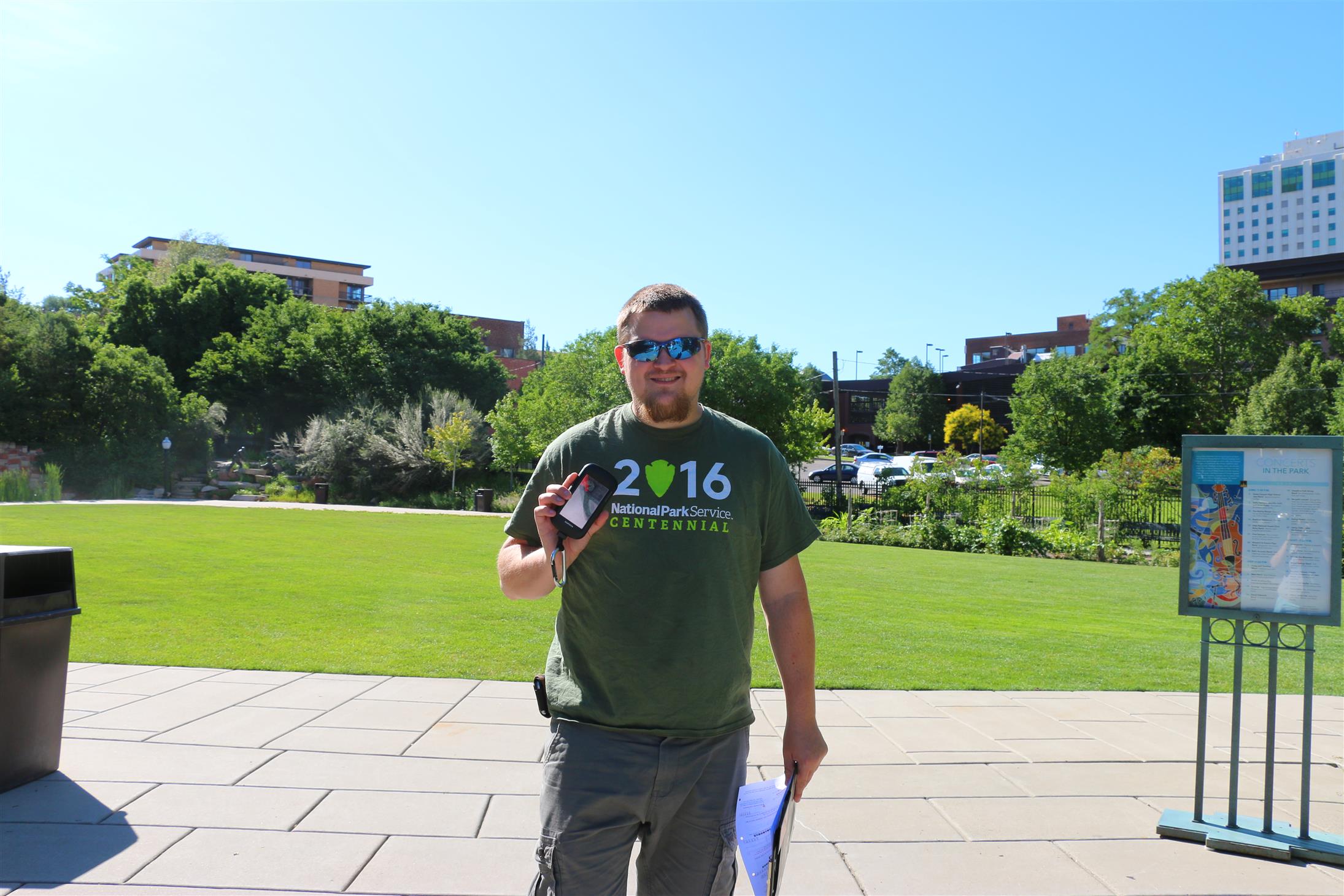
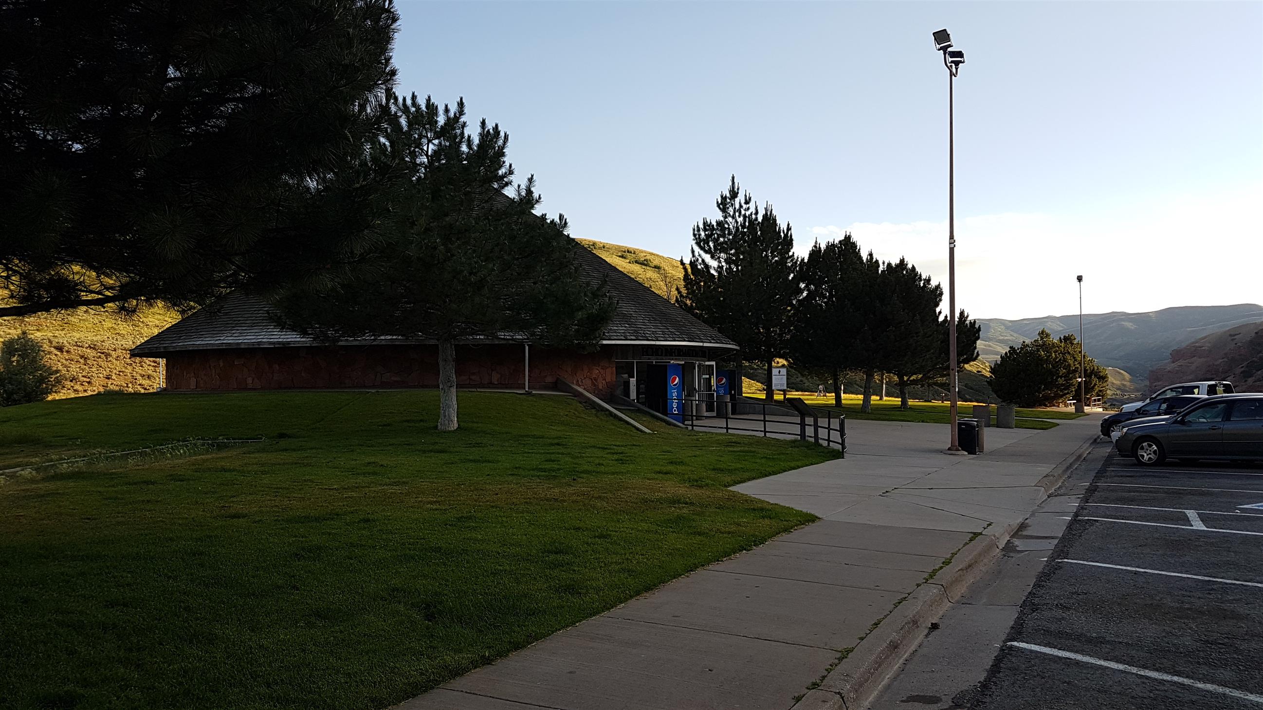
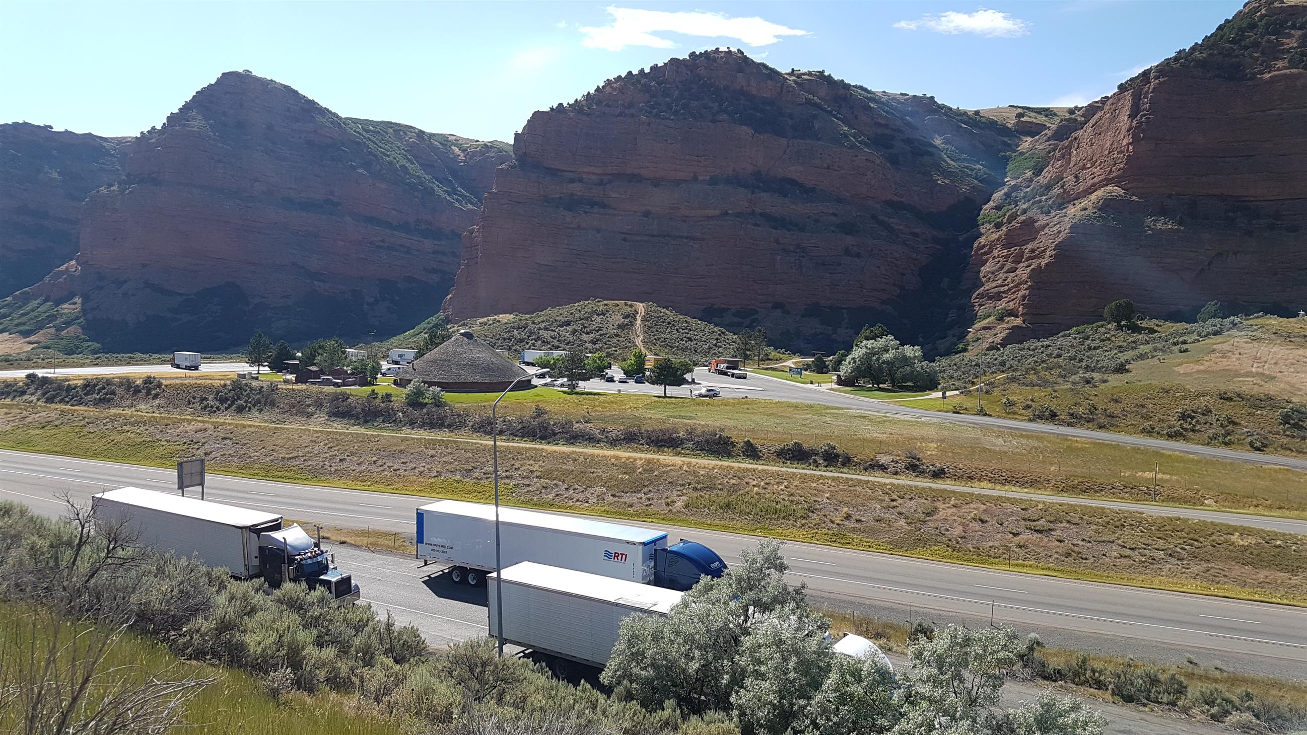
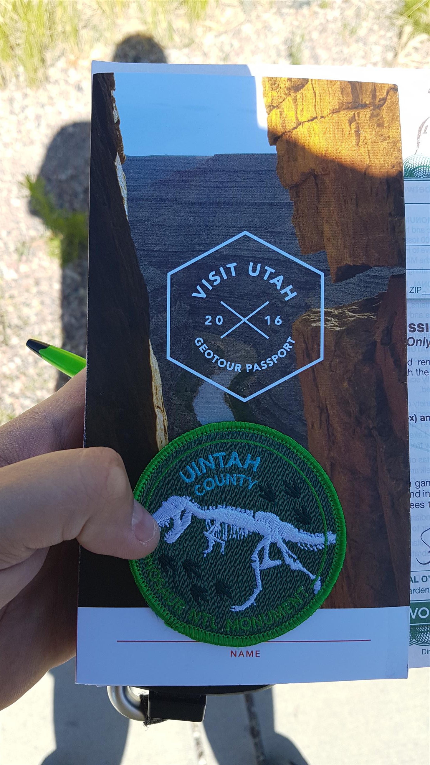
Since we needed another GeoTour-cache in Uintah county, to get the badge, we stopped at the Utah Field House of Natural History Museum on the way back.
We managed to do both caches there, and get our first GeoTour-patch 😀
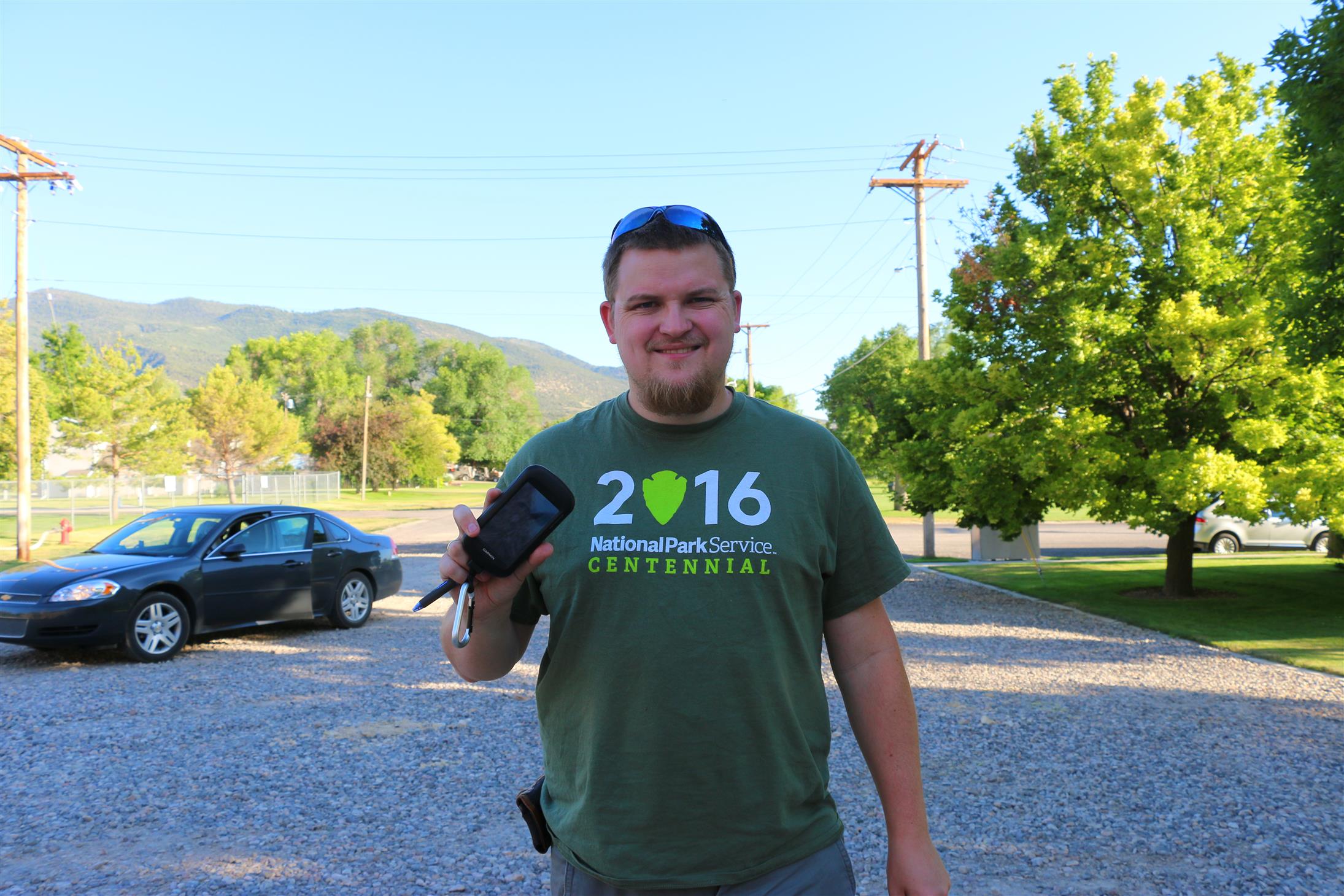
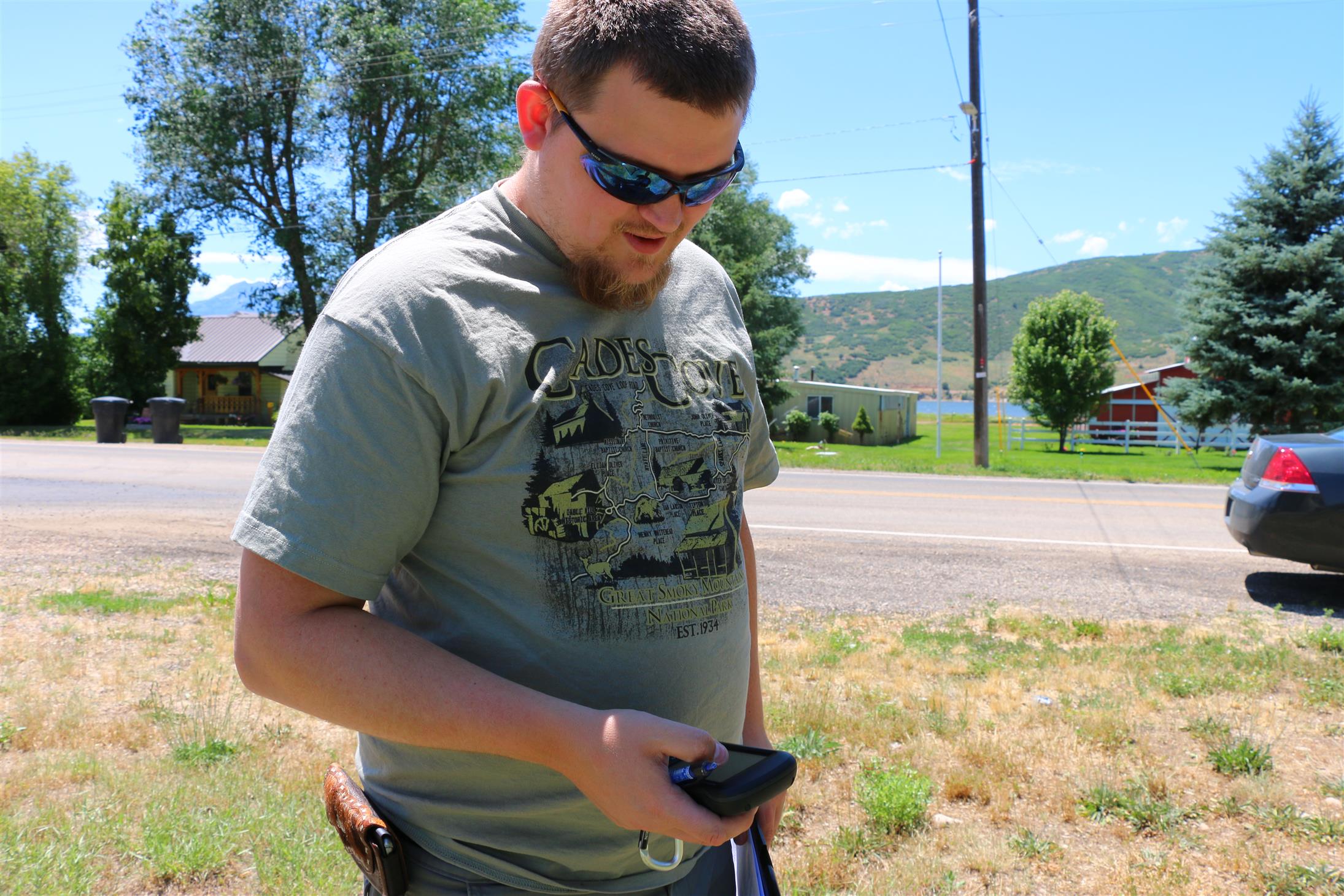
We continued towards Duchesne County, to grab a couple more GeoTour-caches (and a virtual).
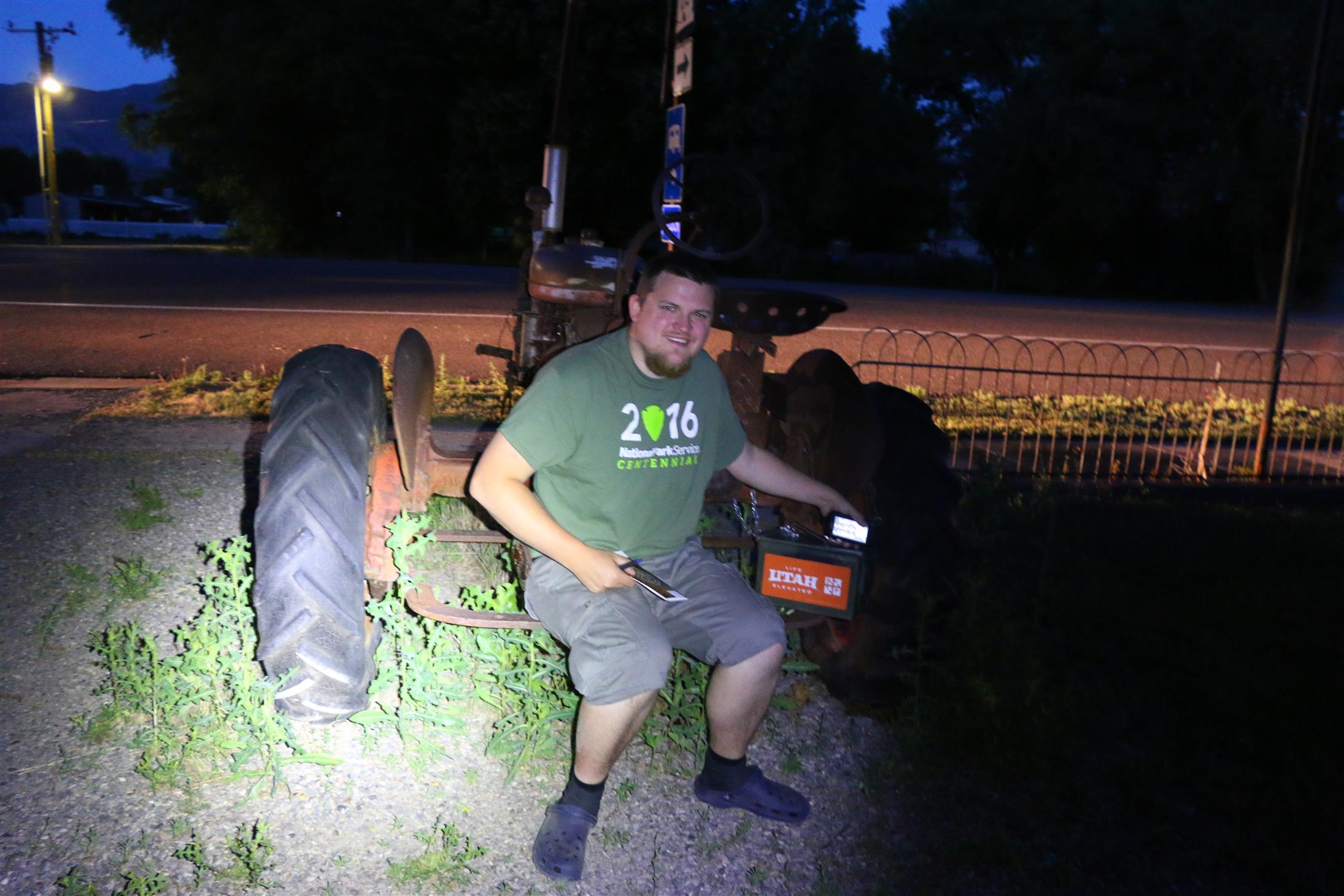
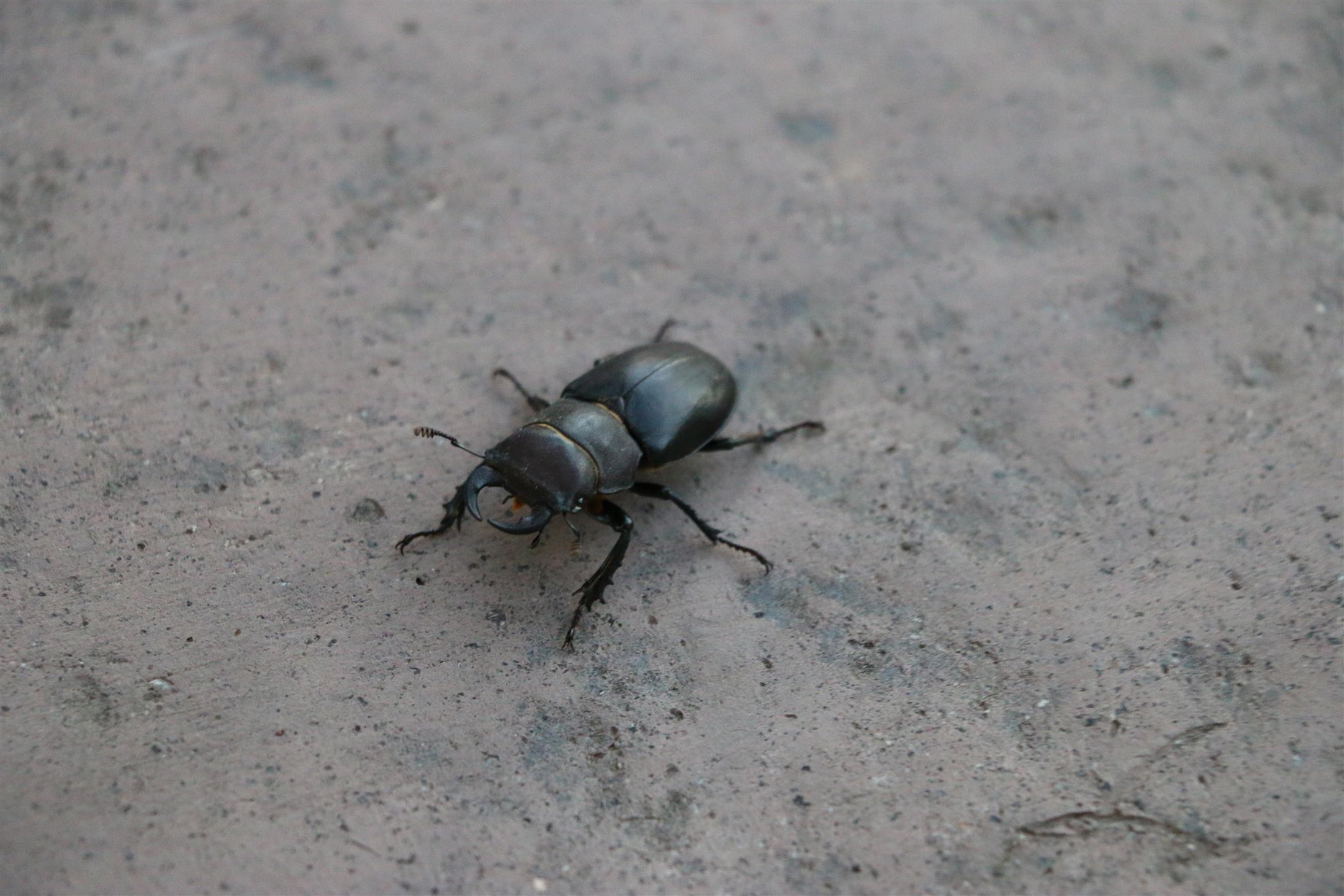
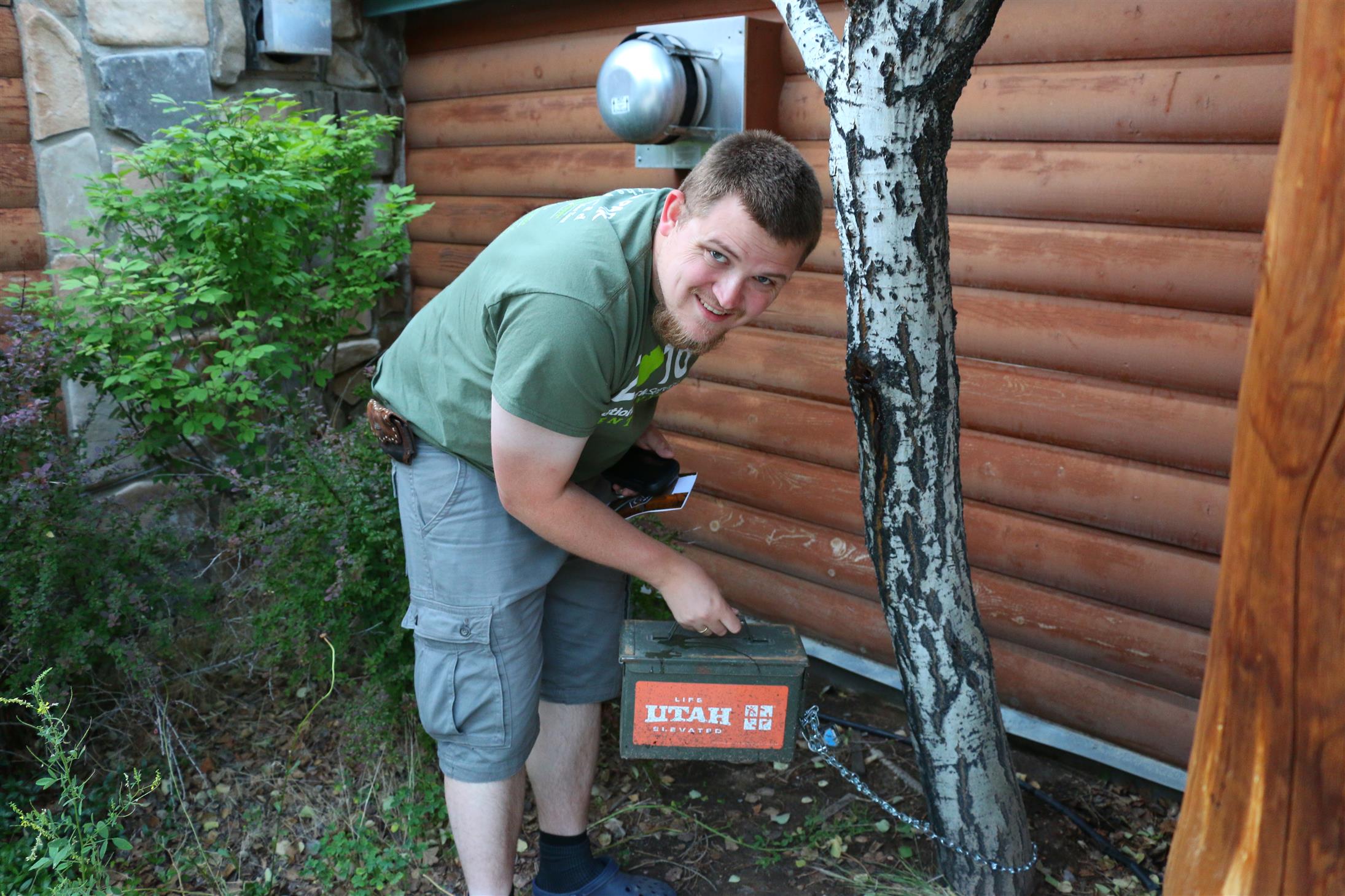
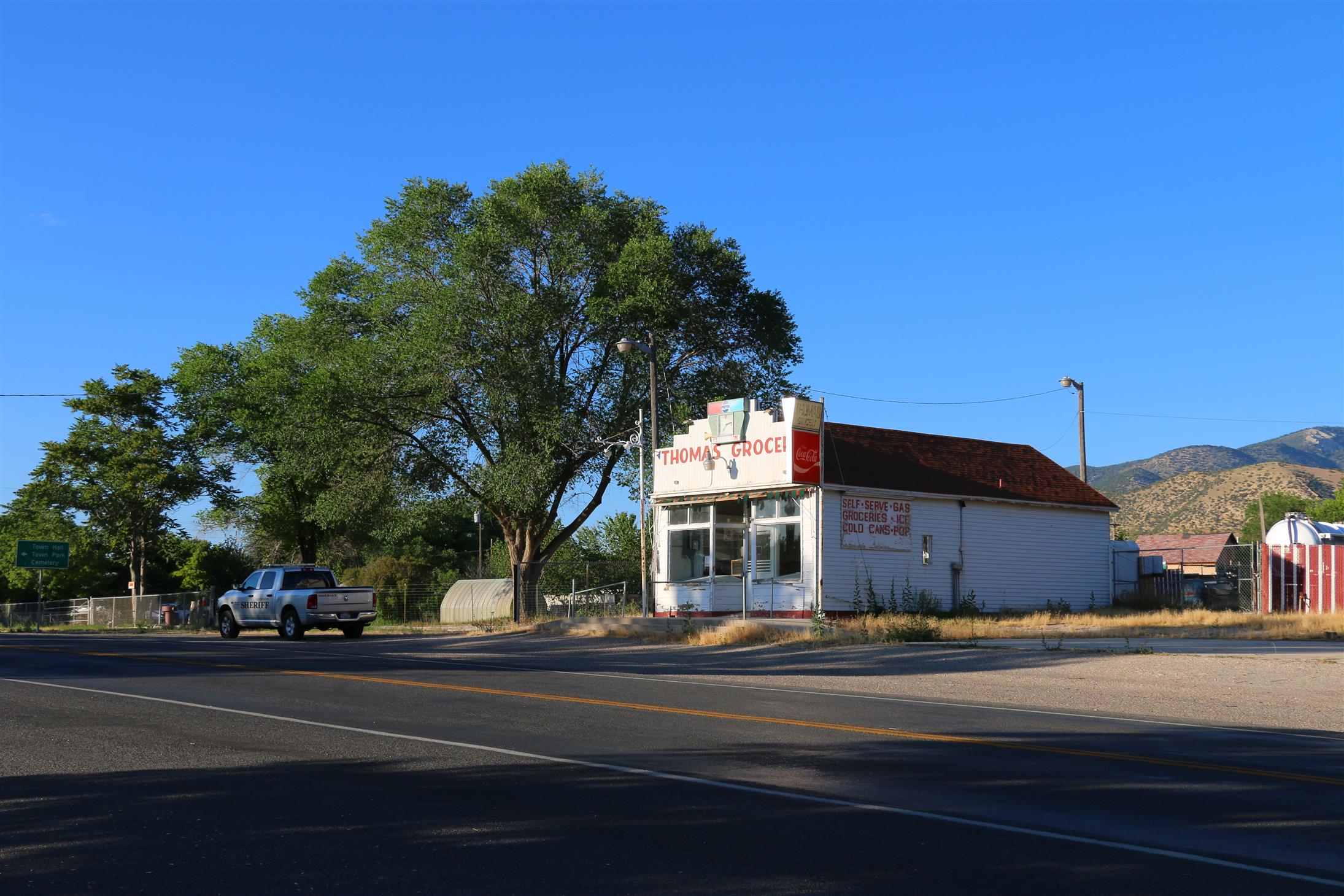
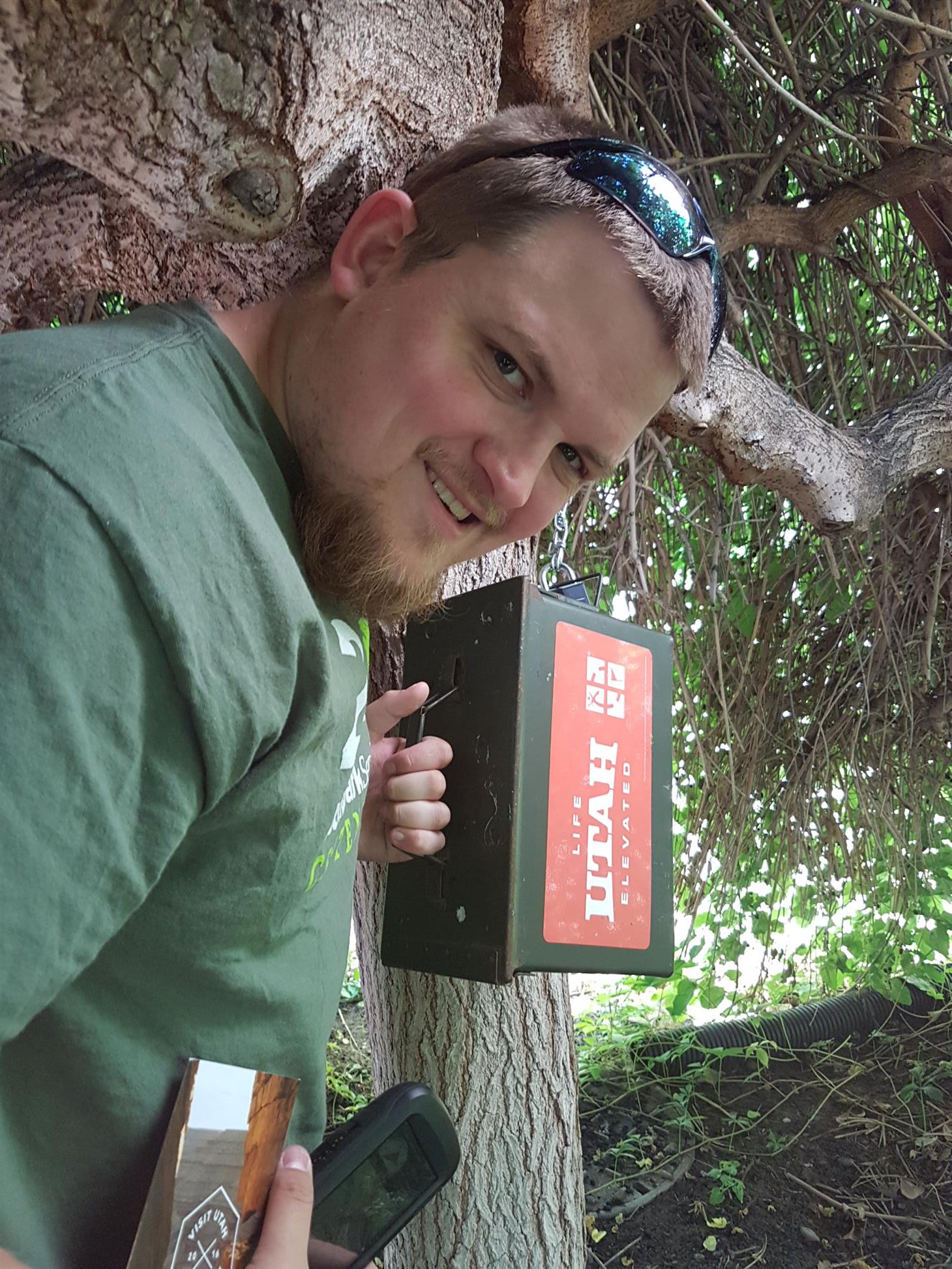
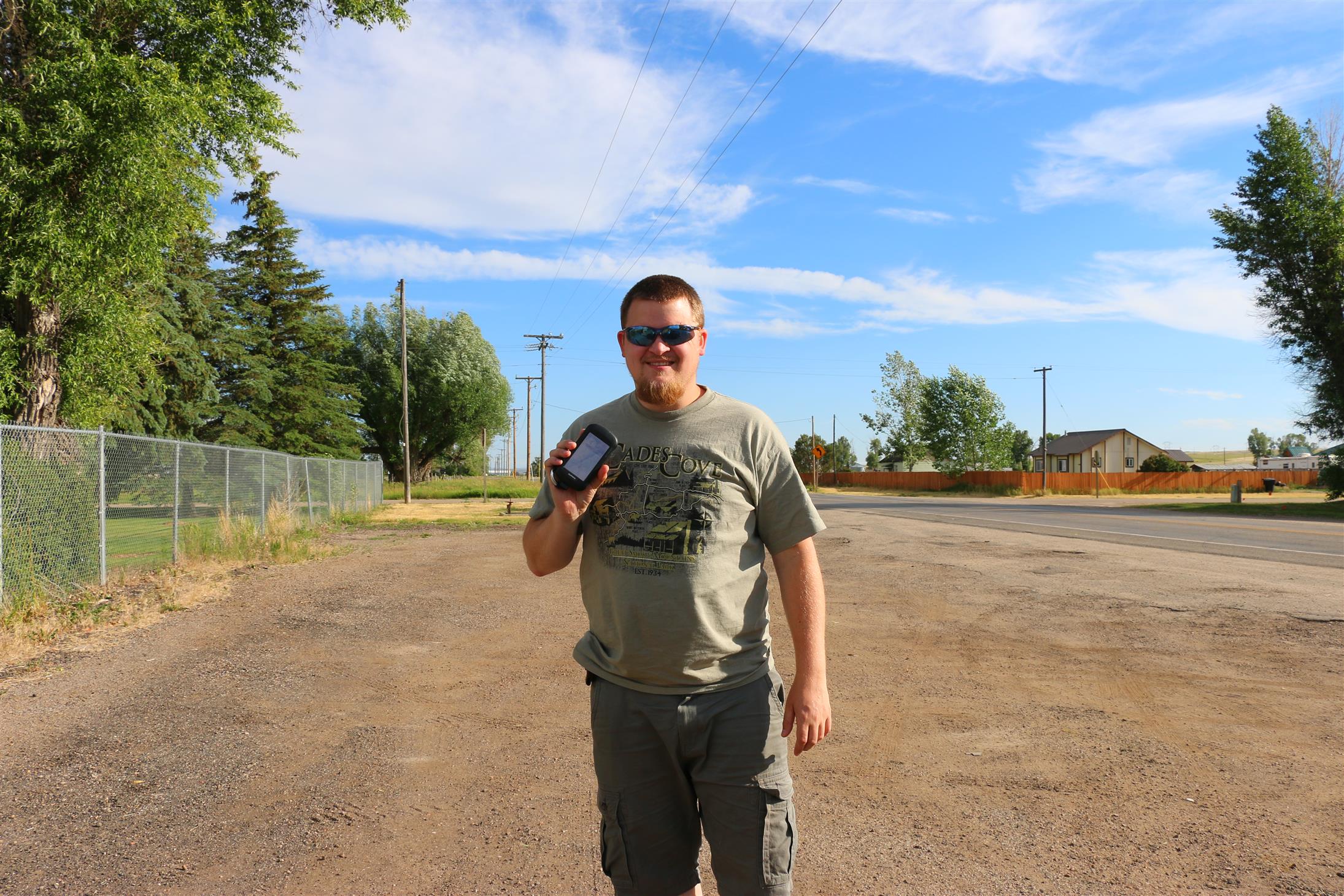
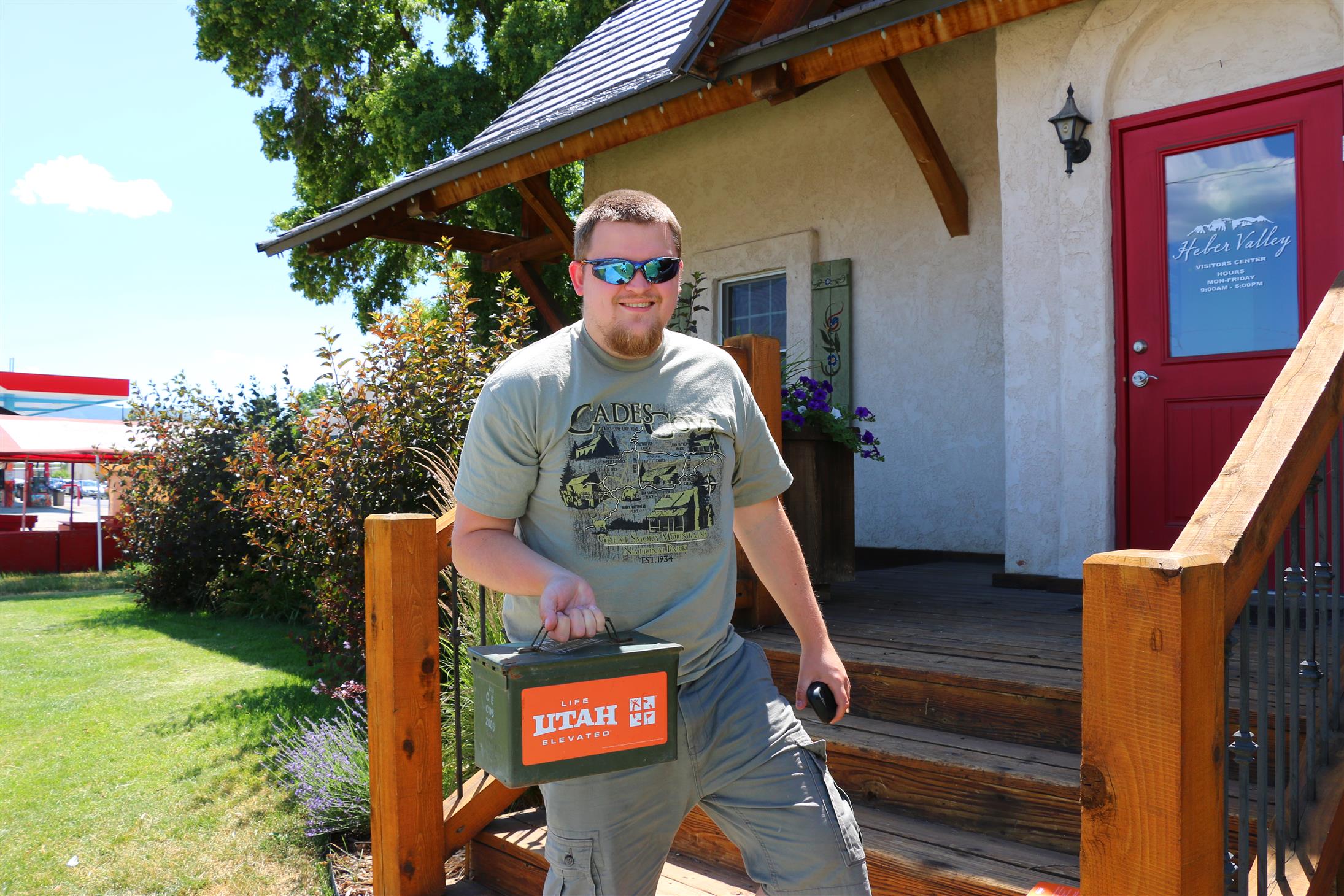
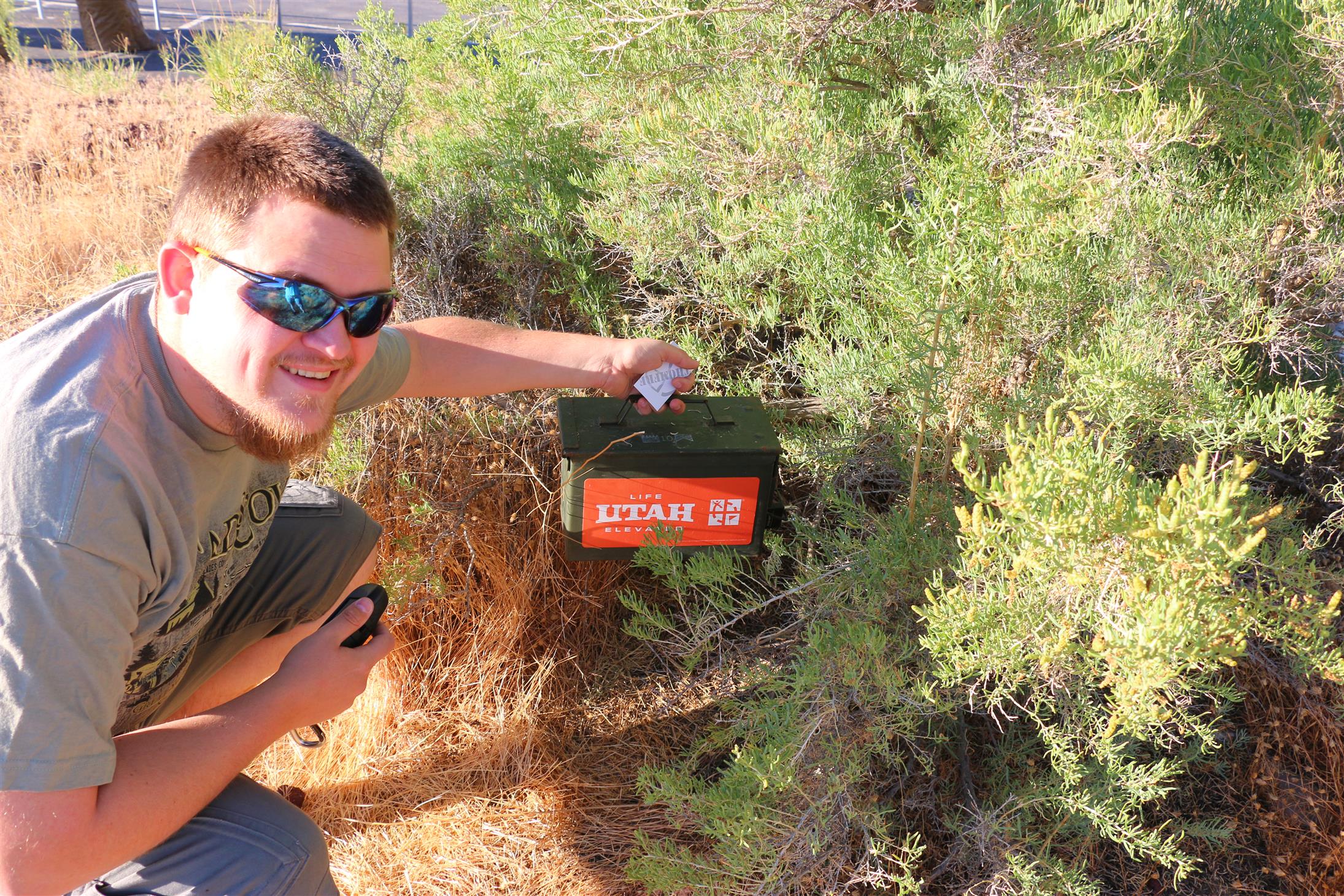
Finding an ammo can out in the open on the sidewalk was kinda fun!
Most of the caches on our list this day were GeoTour-caches or virtuals/earthcaches. And the easy ones close to our route, of course.
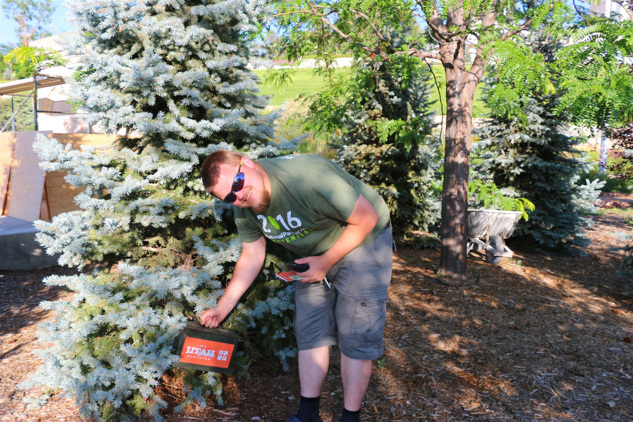
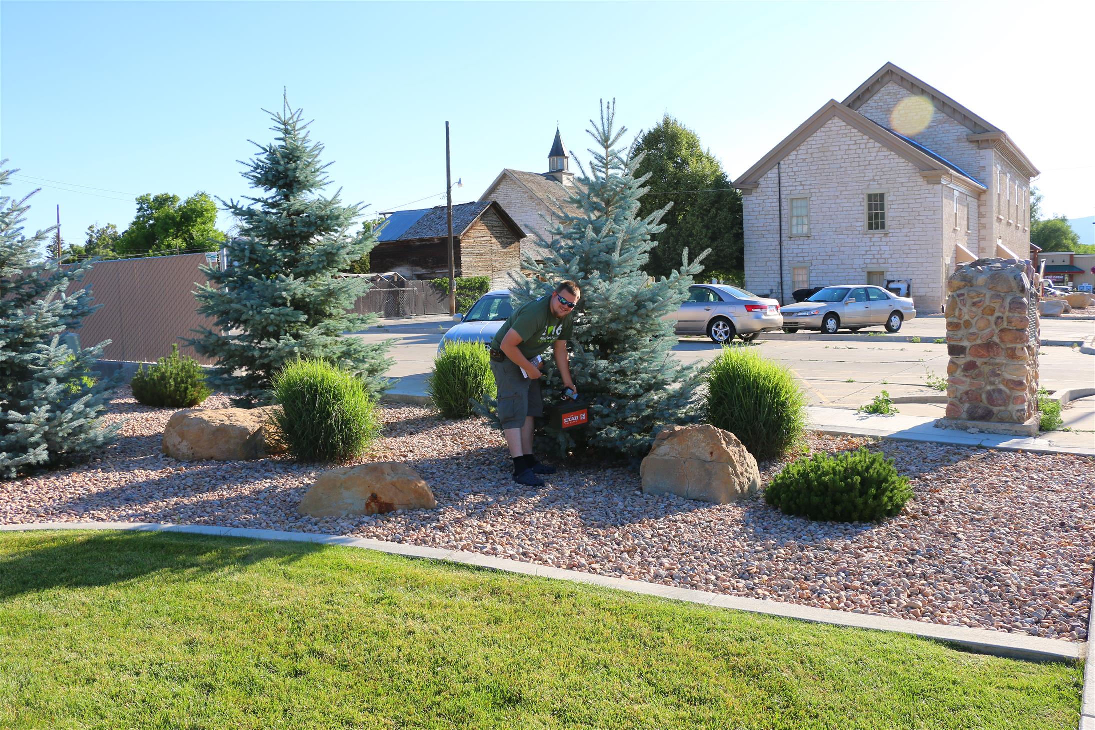
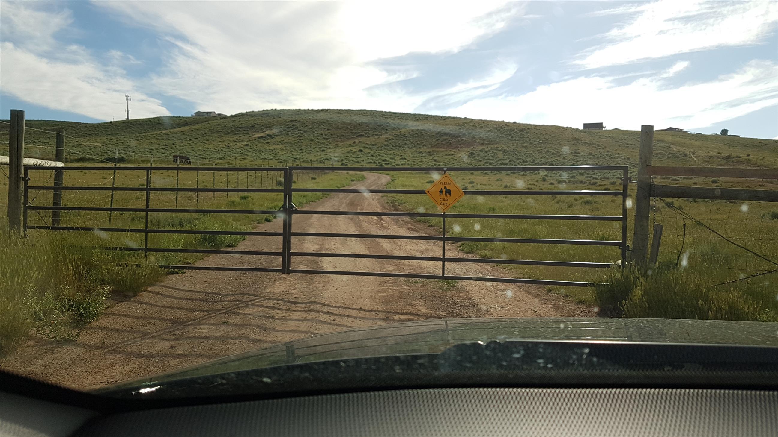
Eventually we made it to Wasatch County, and another nice GeoTour-cache just sitting there out in the open.
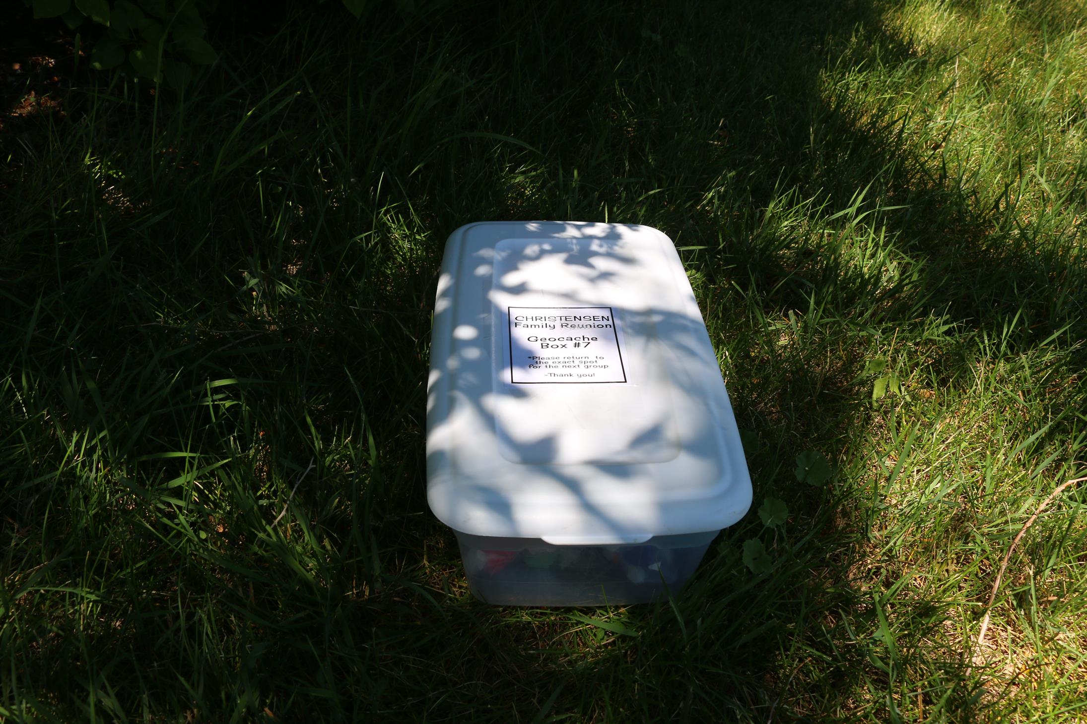
When we stopped to find a virtual cache in Charleston, we also attempted to find the traditional cache right next to it. We couldn’t find it, but on the same coordinates, we found another «geocache»:
I wonder if they knew that they hid their cache on the coordinates of an official one 😛
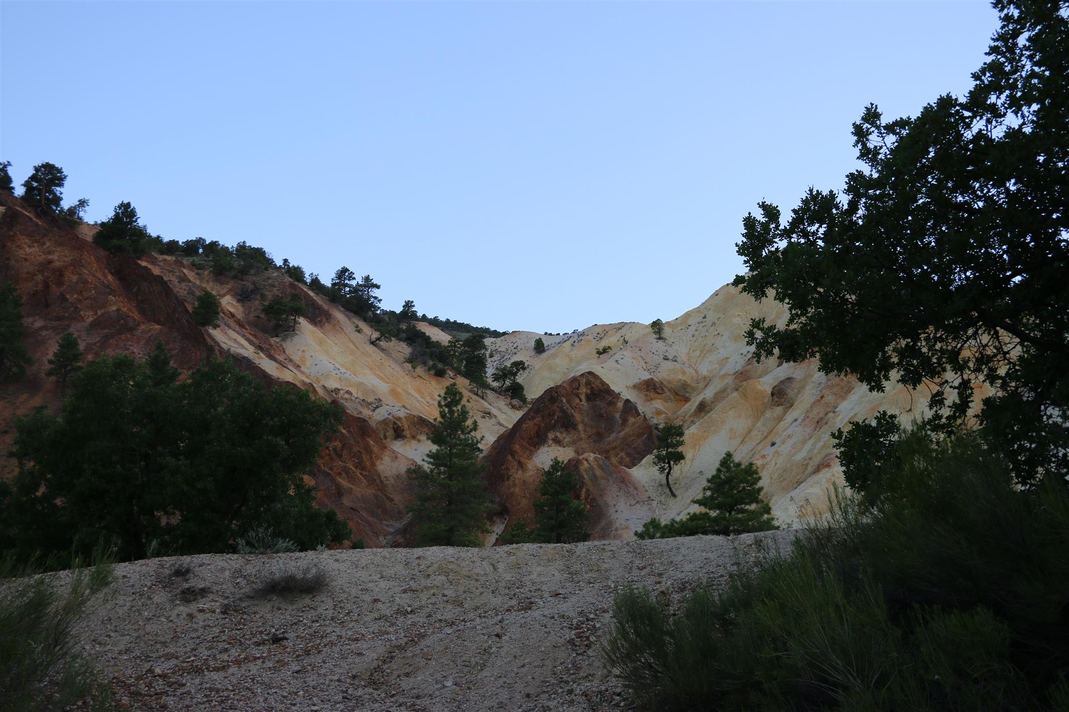
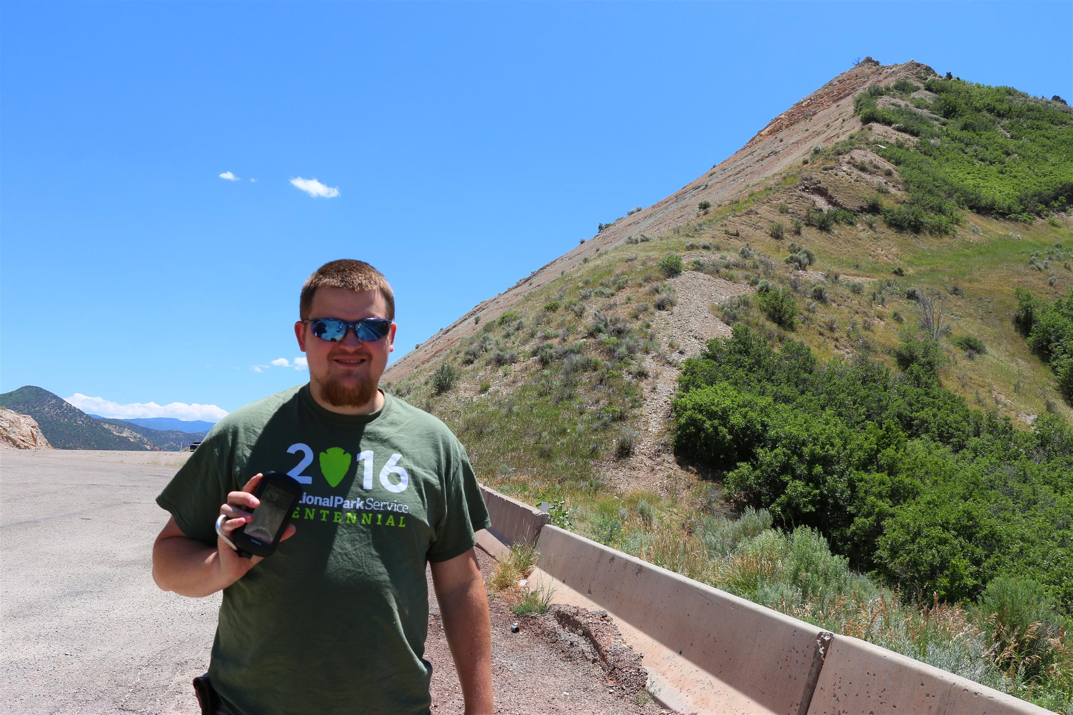
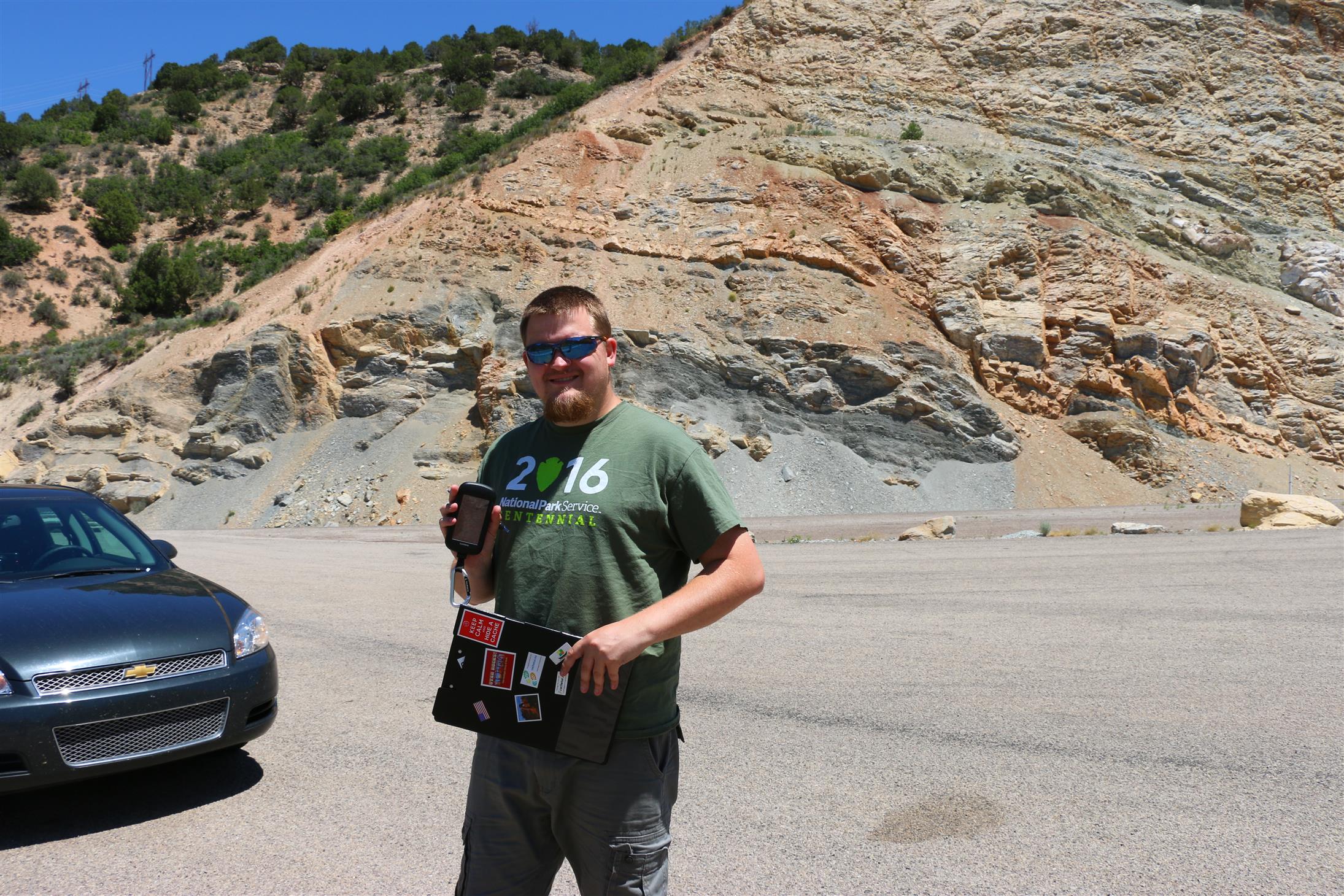
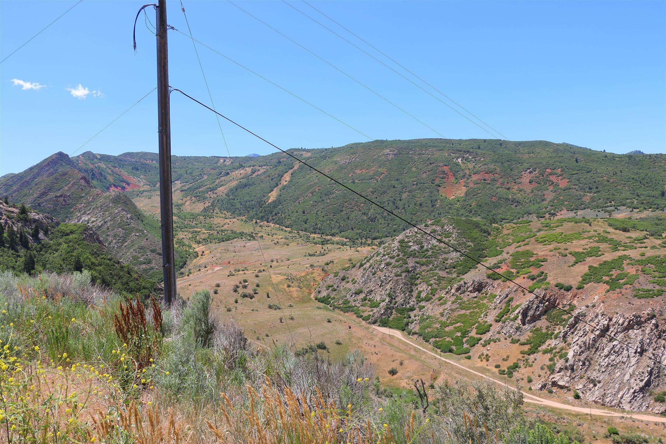
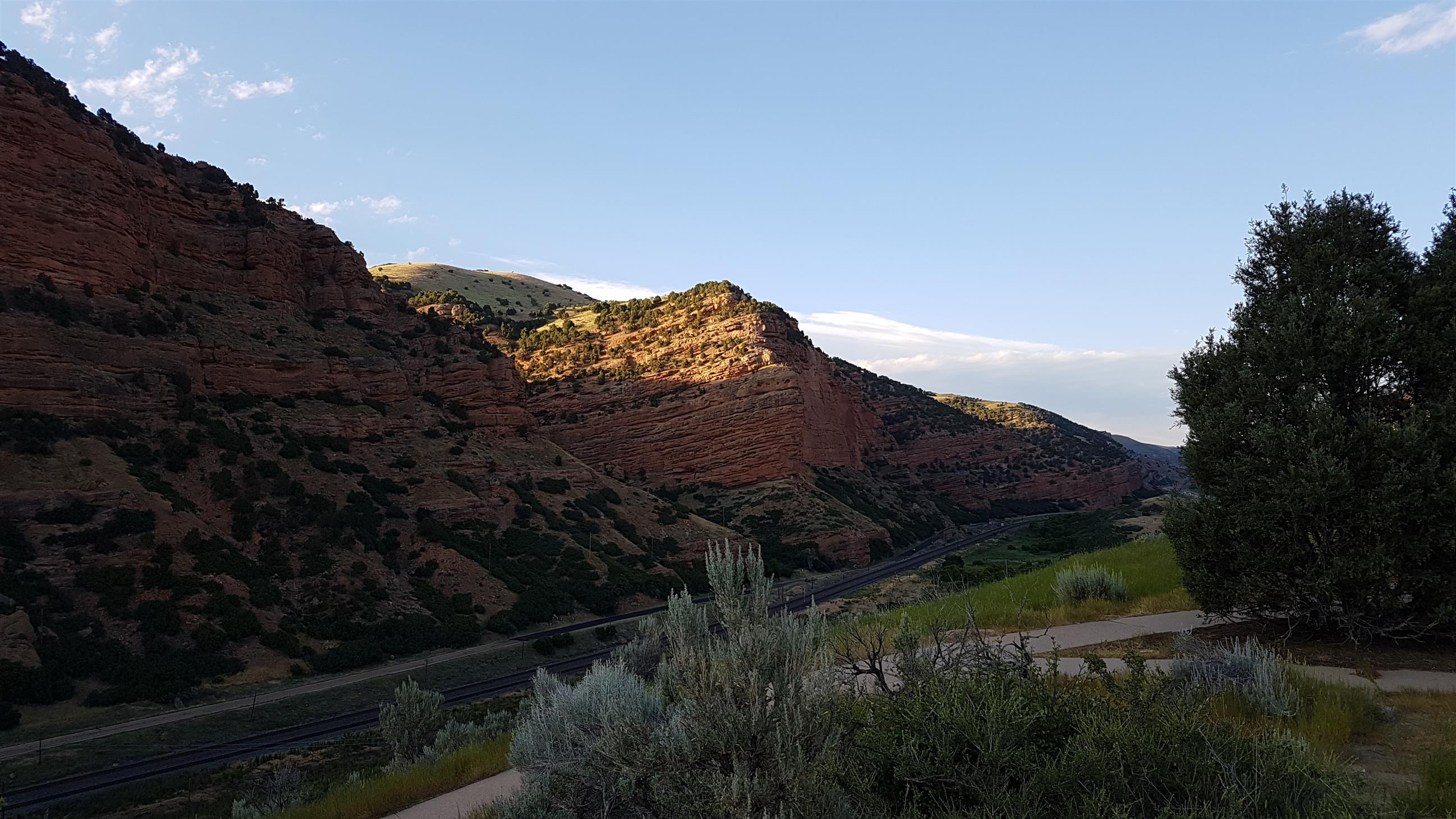
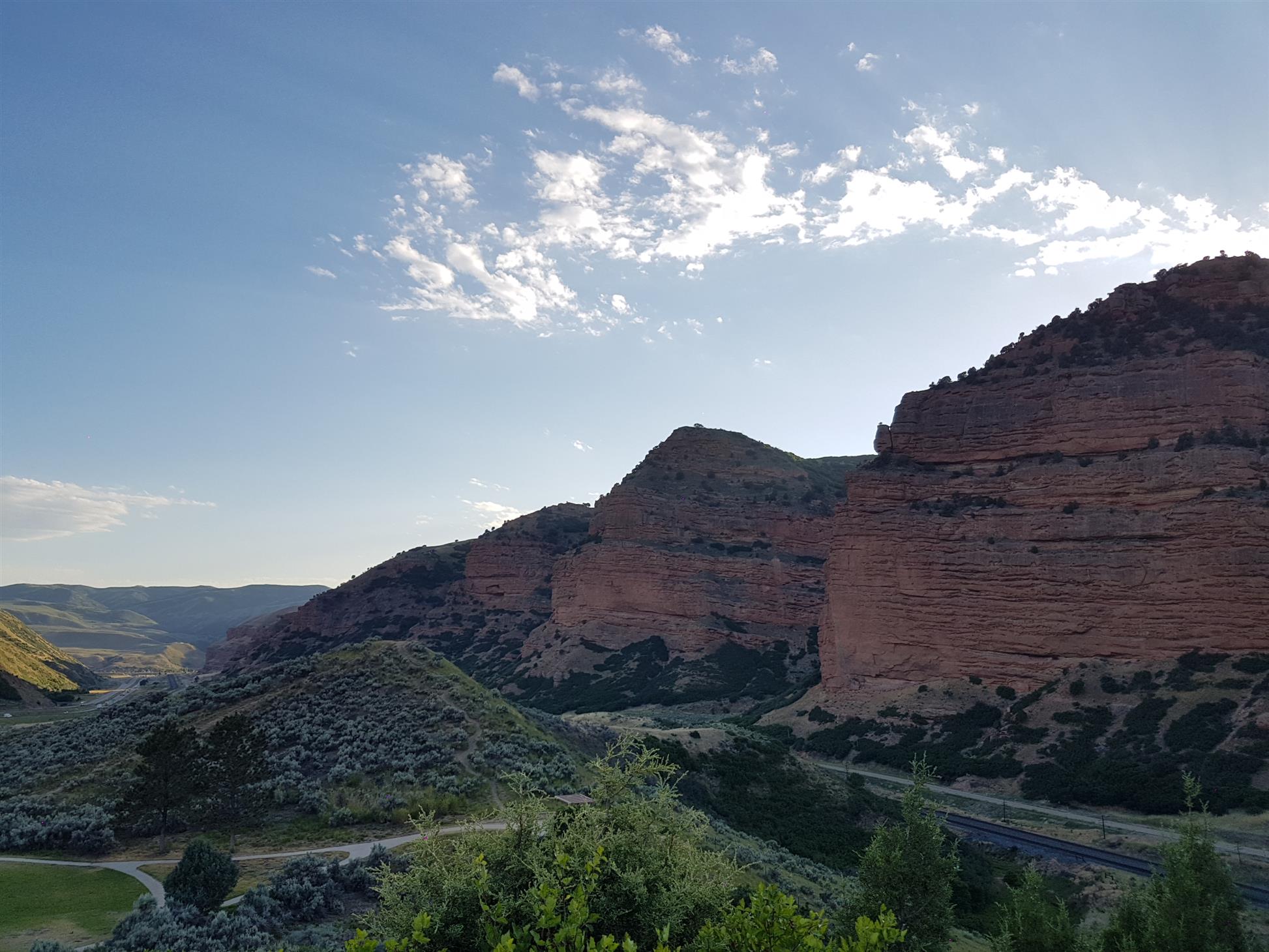
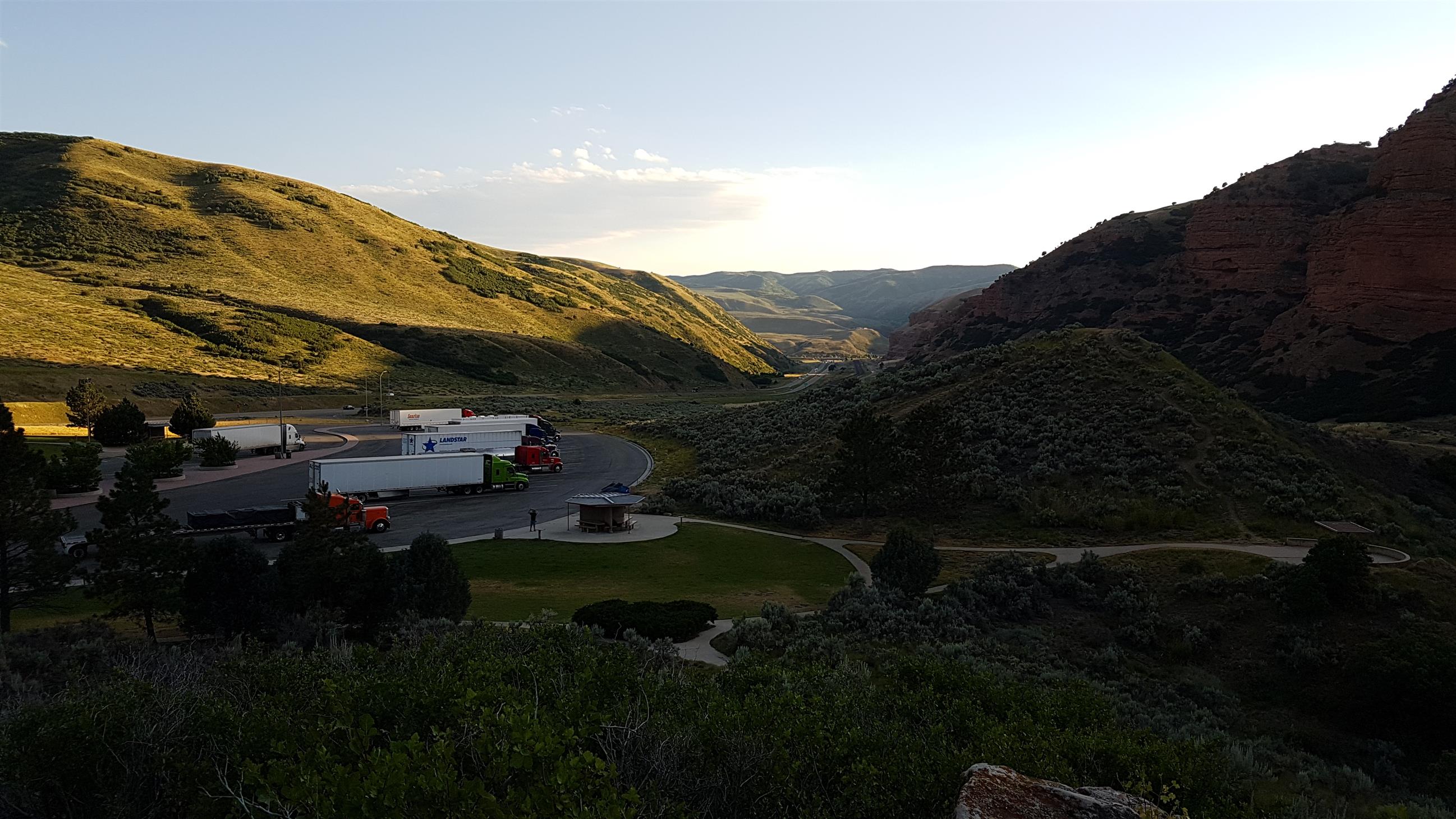
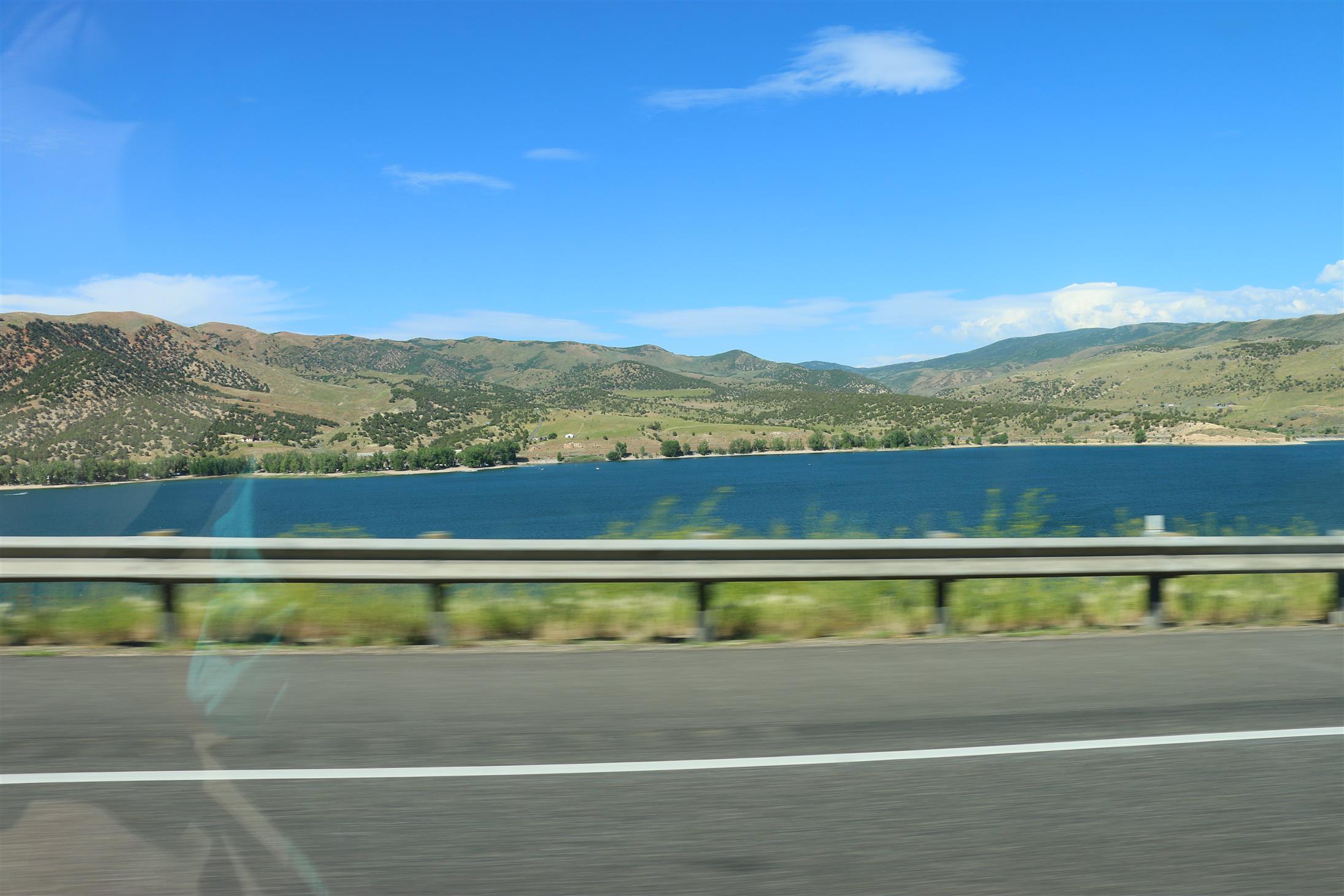
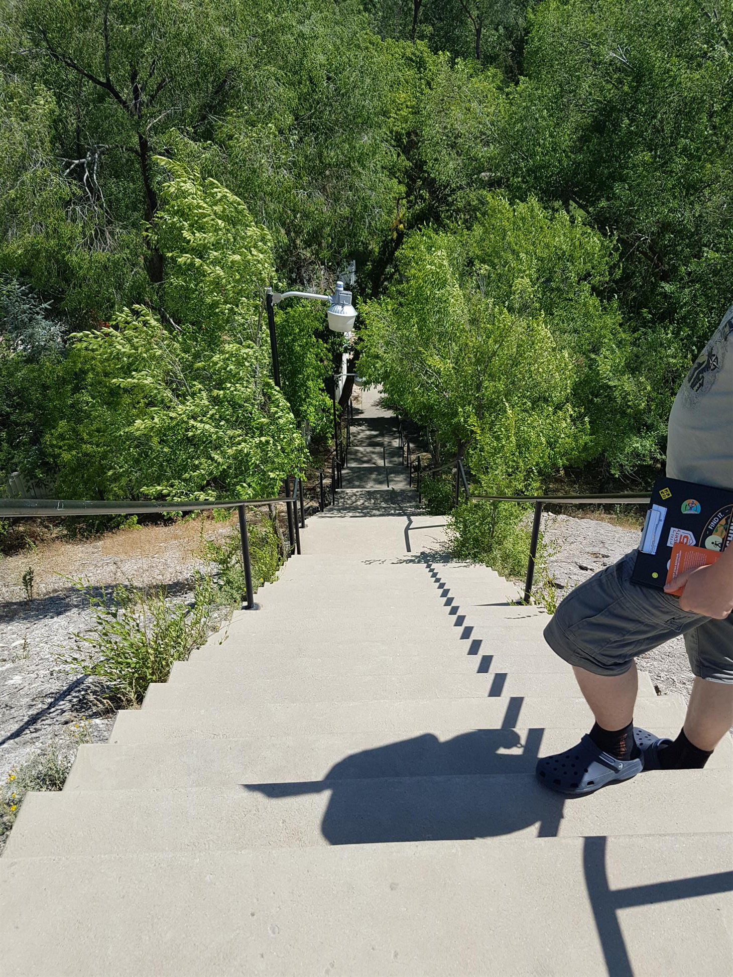
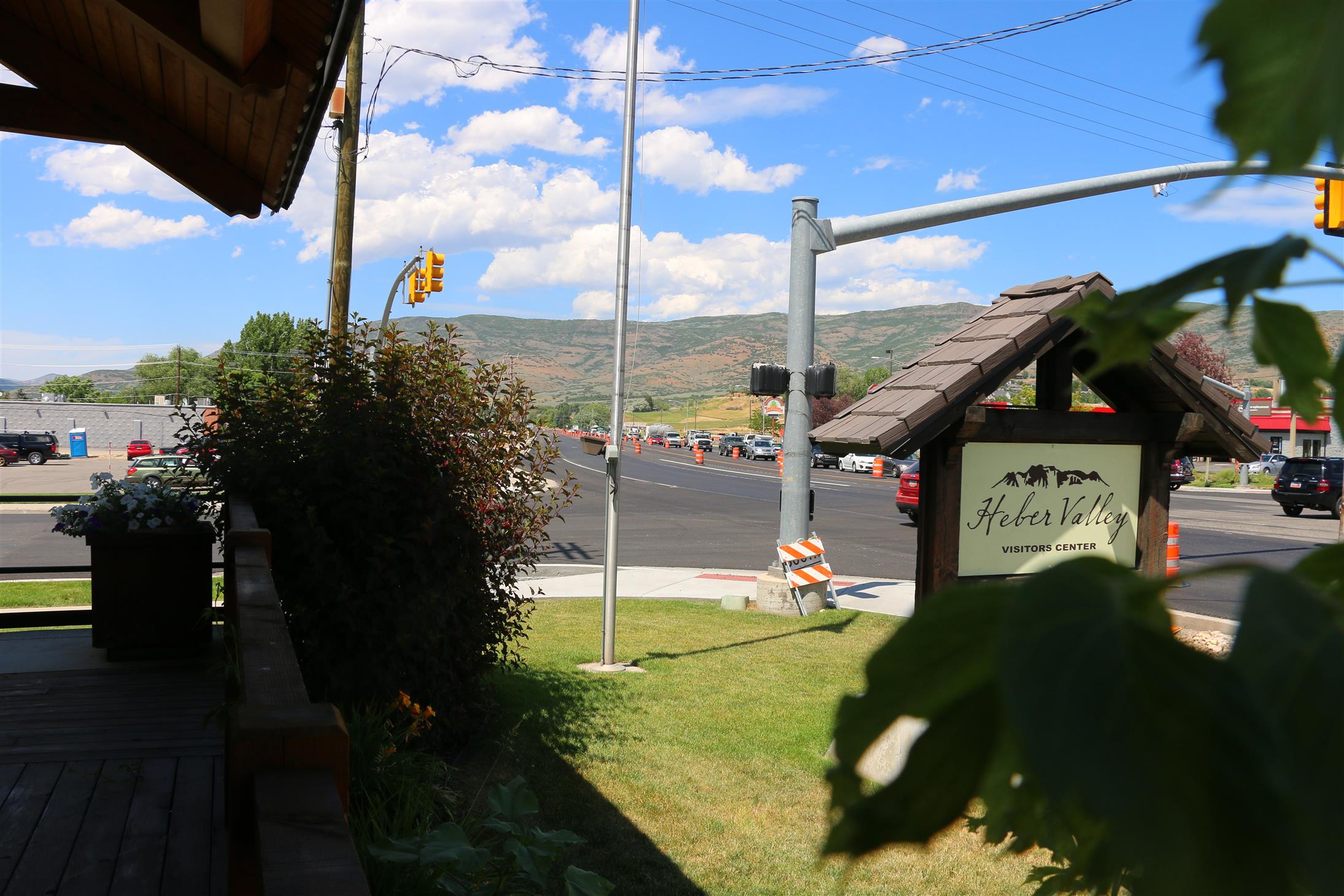
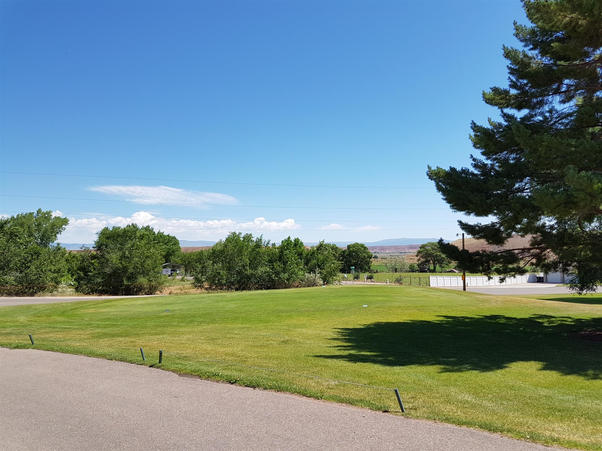
After getting stuck in road work in Heber City, we eventually managed to find all the GeoTour-caches we needed for Wasatch County. We picked up the patch, and got this nice view from the earthcache (GC19J46) at the pickup-location:
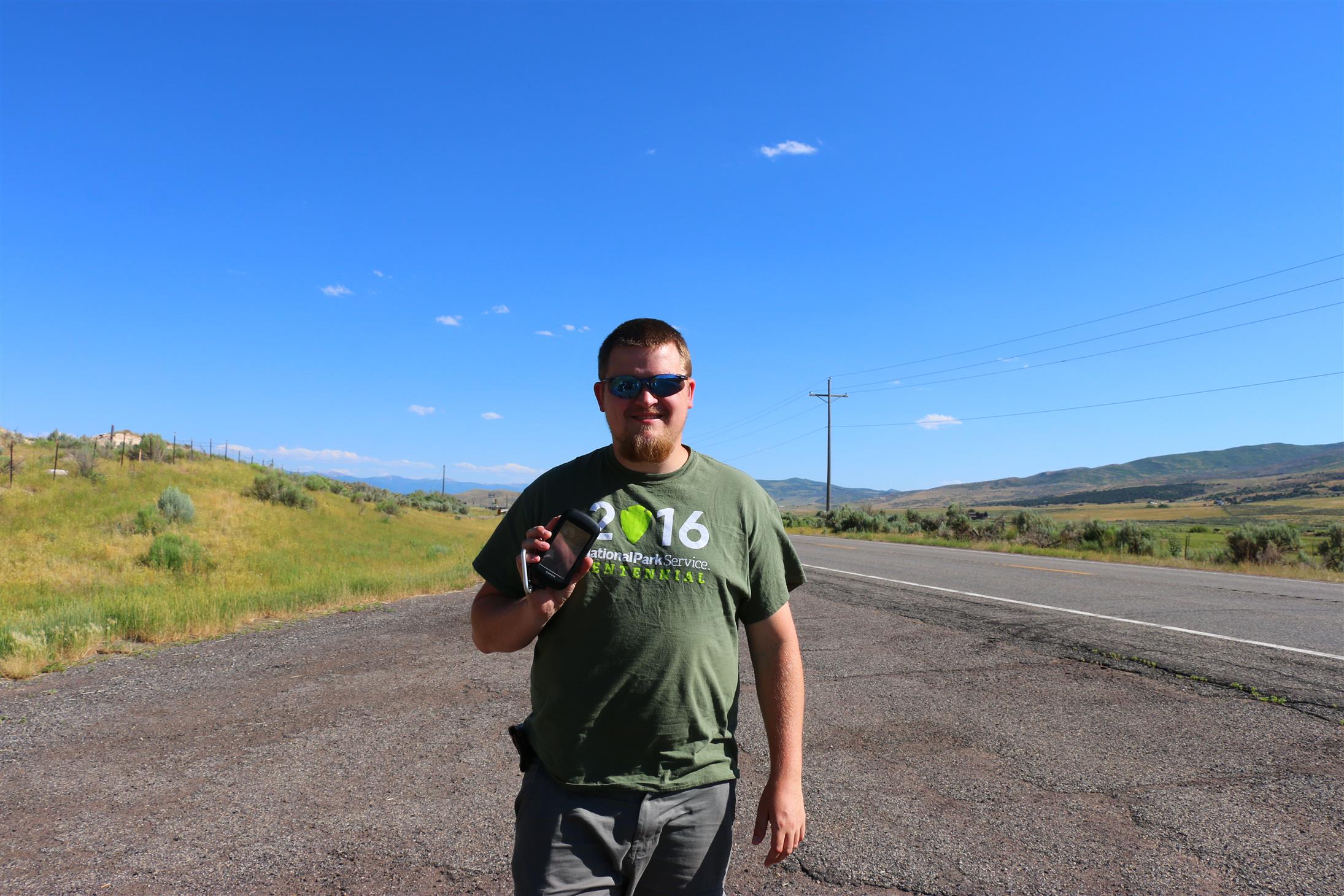
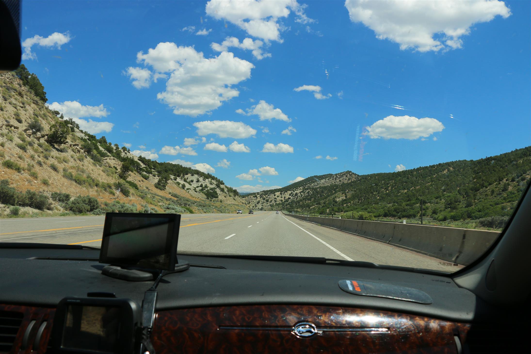
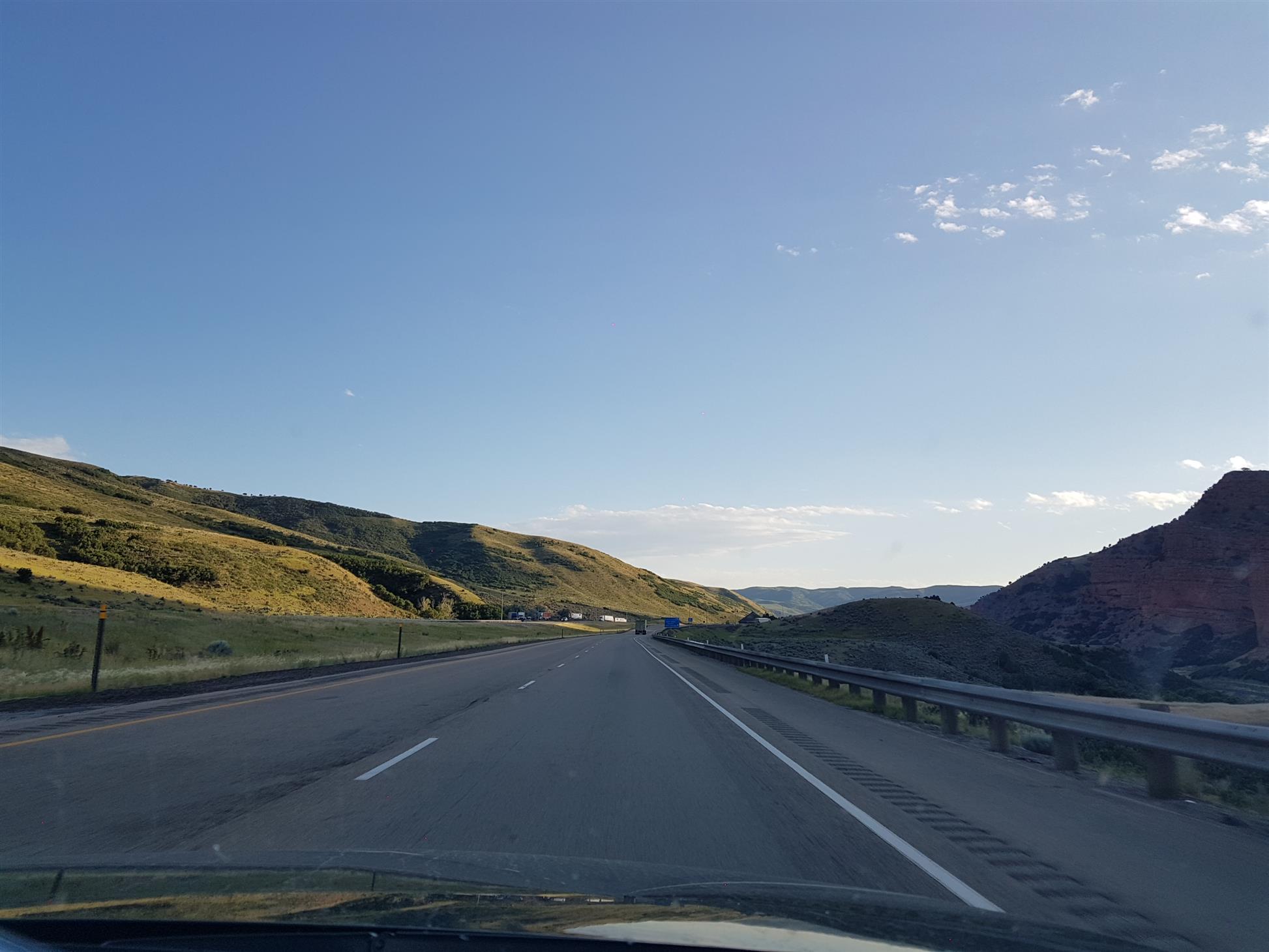
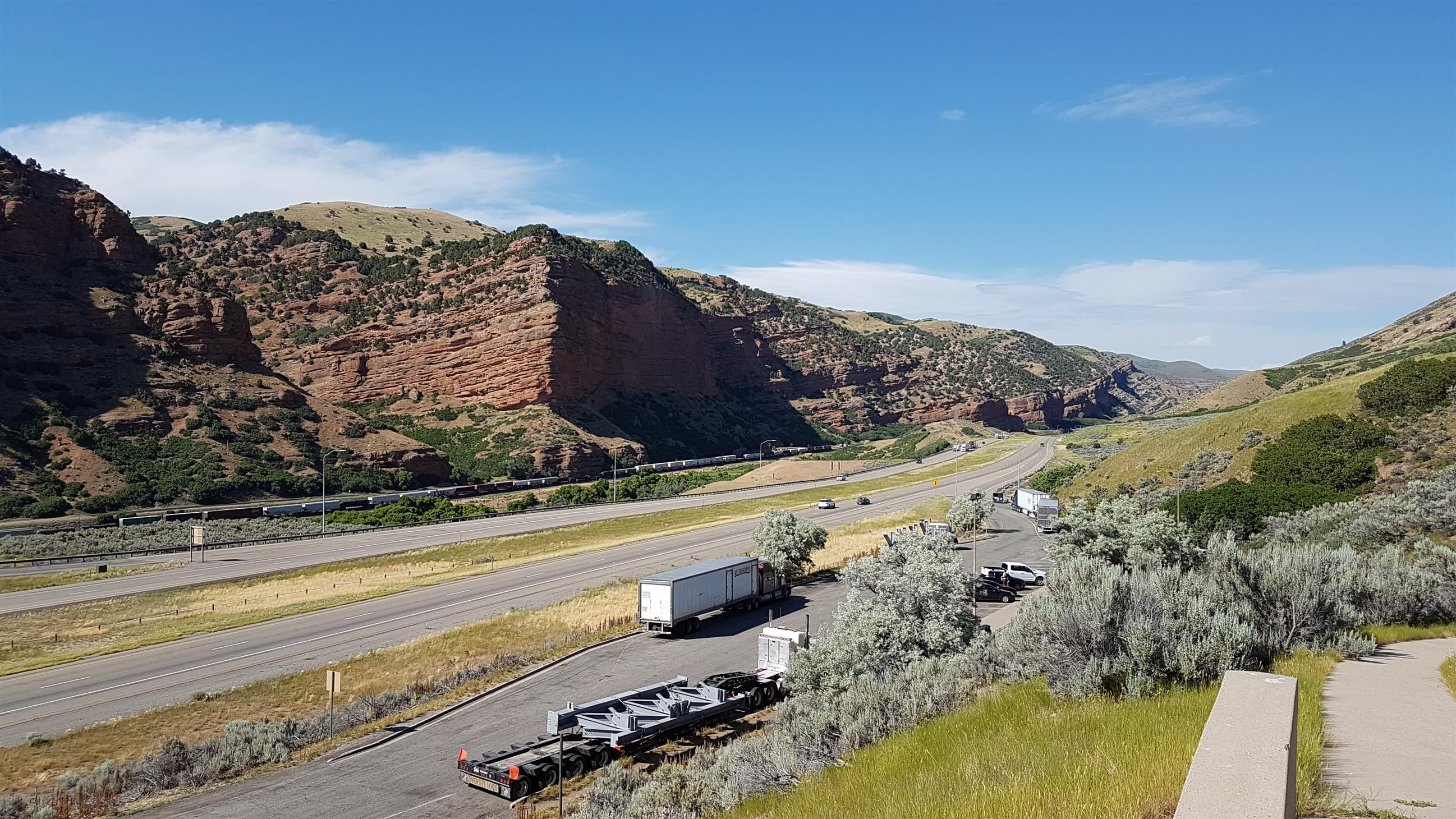
The next county we needed was Rich County, and our route took us through the corner of Wyoming and Evanston. We didn’t stop too much along the road, only rest areas and GeoTour-caches.
We got the county, and a virtual cache at the same time, before heading back into Wyoming. When crossing all these borders, we just had to stop at GC1134V Border Jumpers ~ Woodruff Narrows.
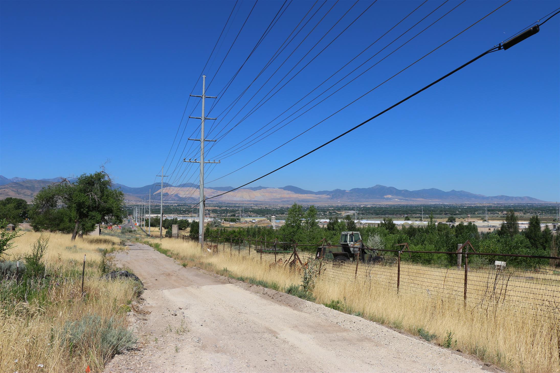
The last county on our list this day was Davis County, and we still had a long way to drive to get there. We didn’t have many caches planned on the way from Evanston to Layton, where we had booked the next hotel.
We ended up skipping a webcam (because it was facing the wrong direction), and a couple caches with lots of DNFs. But we found some virtuals along the way, and we got the cache we needed to get Davis County.
We even managed to get to the hotel in time to get some sleep before we had to get up again.
The next day had one of the most ambitious plans on the entire trip. We never expected to be able to find more than half of the caches we had planned. We had mainly GeoTour-caches, virtuals and earthcaches on it – and I couldn’t get myself to remove any more than I already had removed from the plan.
So we just had to give it a try, and find as much as we could.
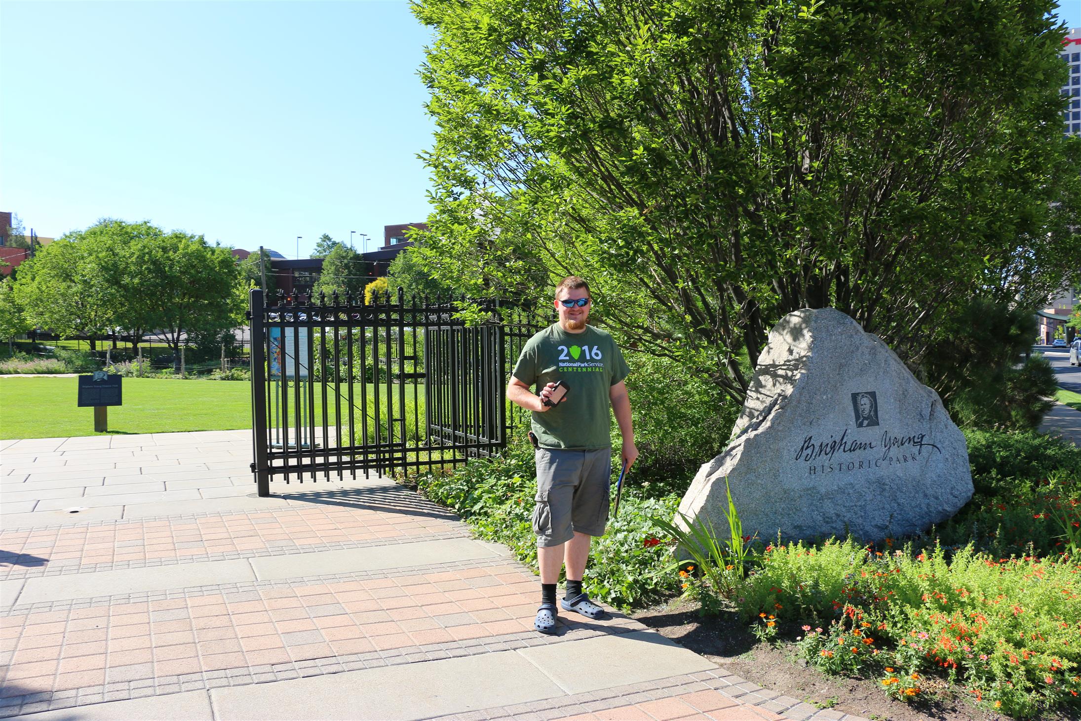
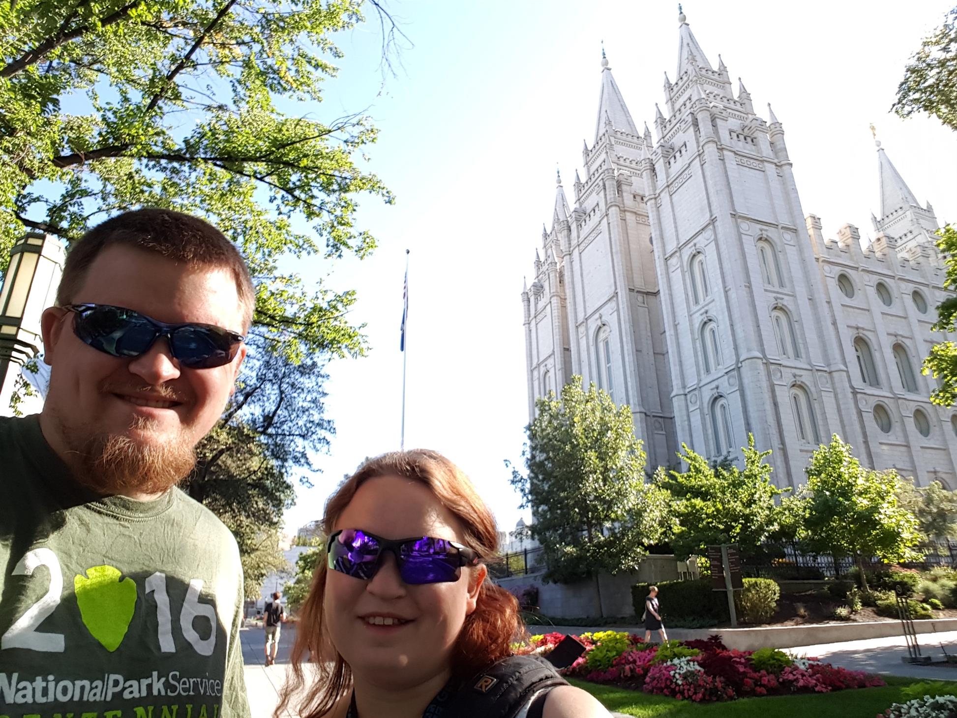
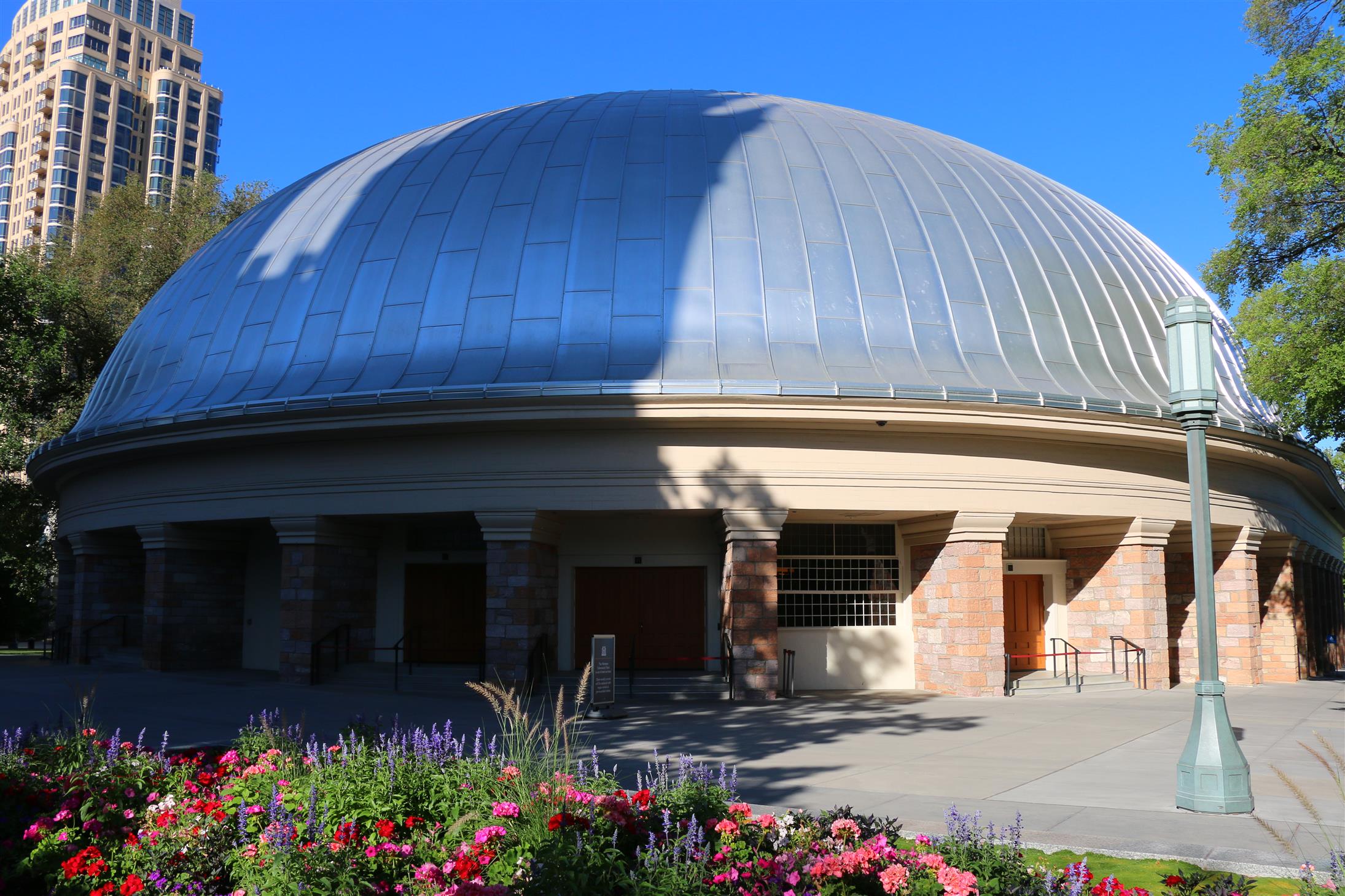
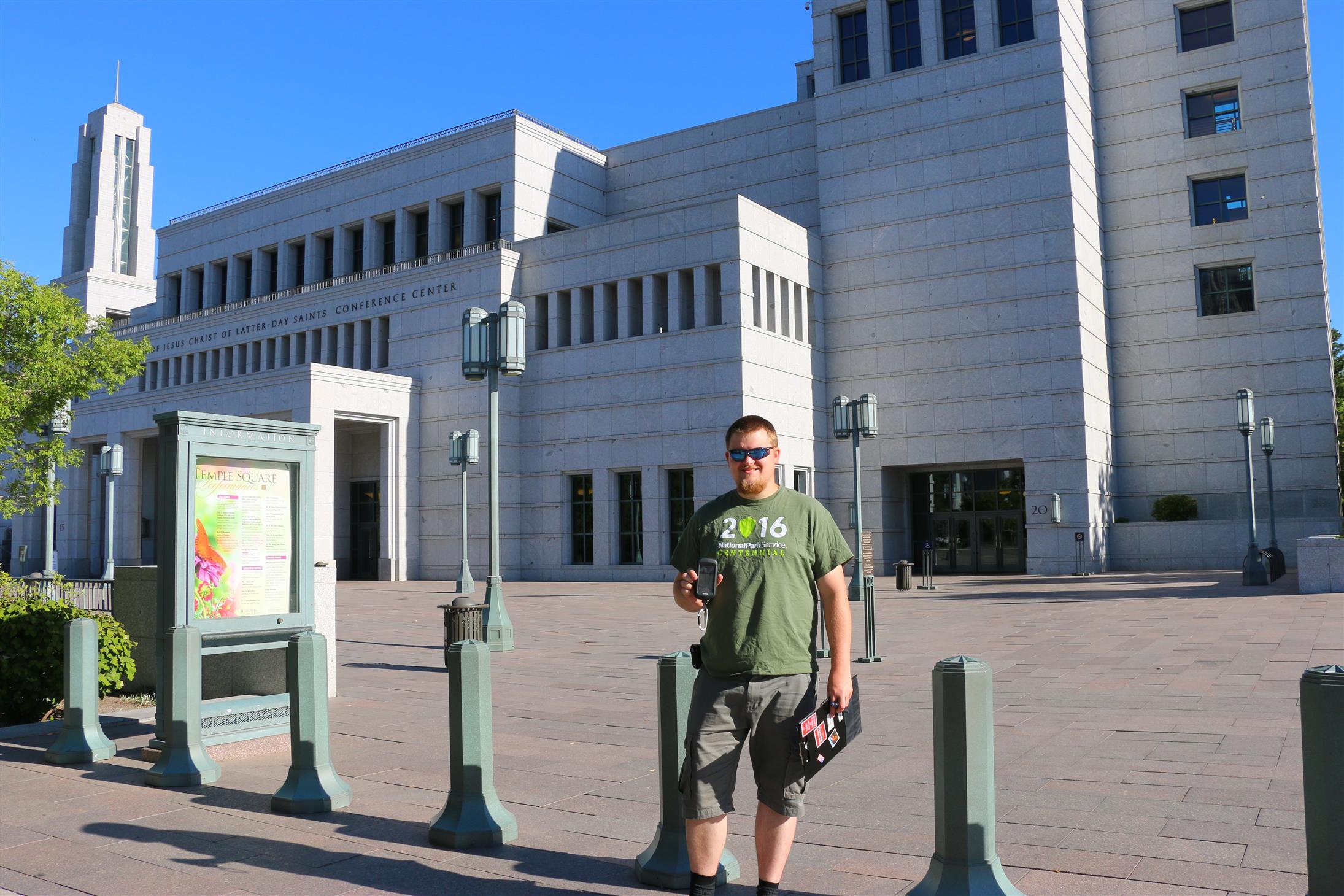
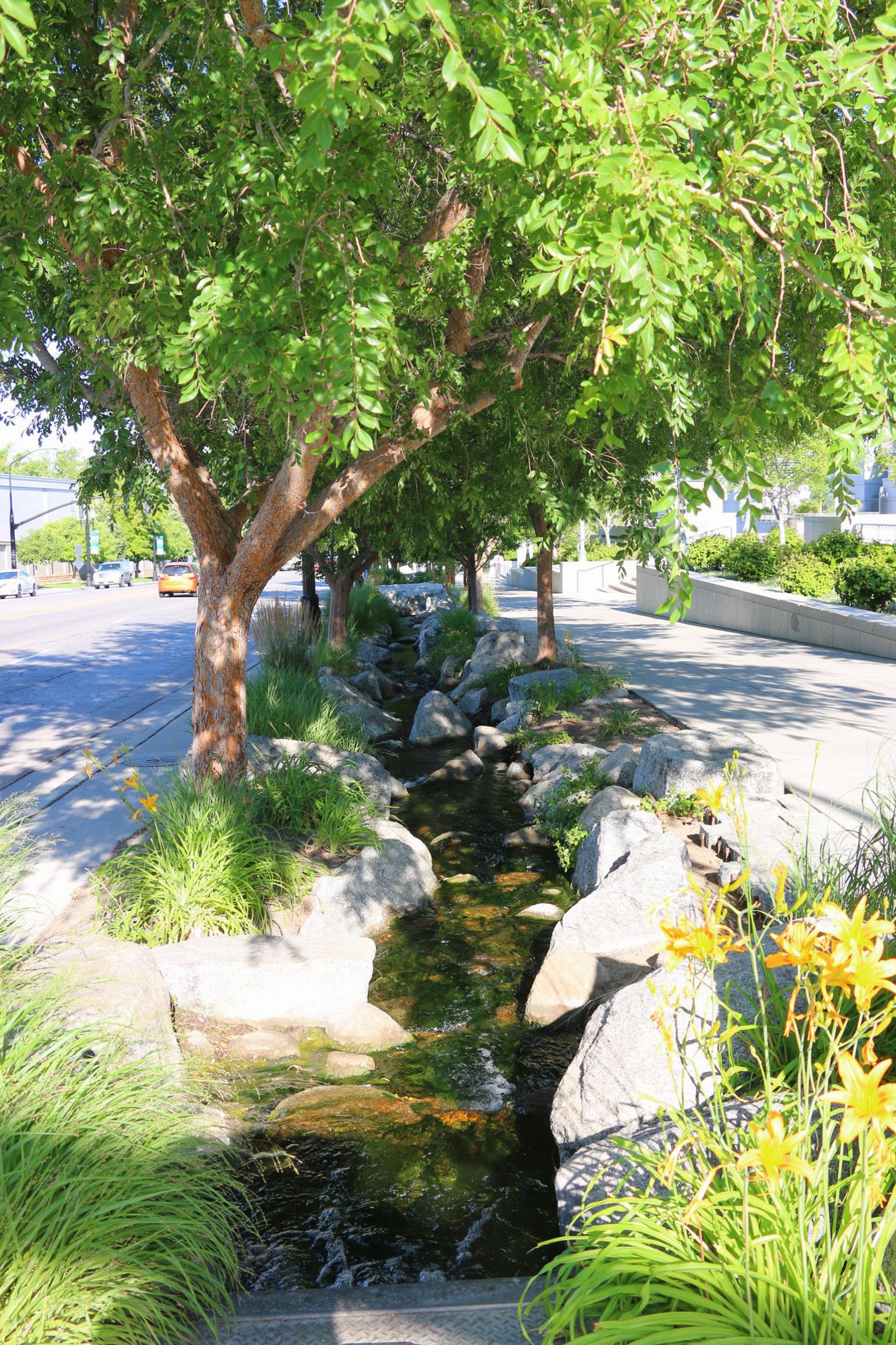
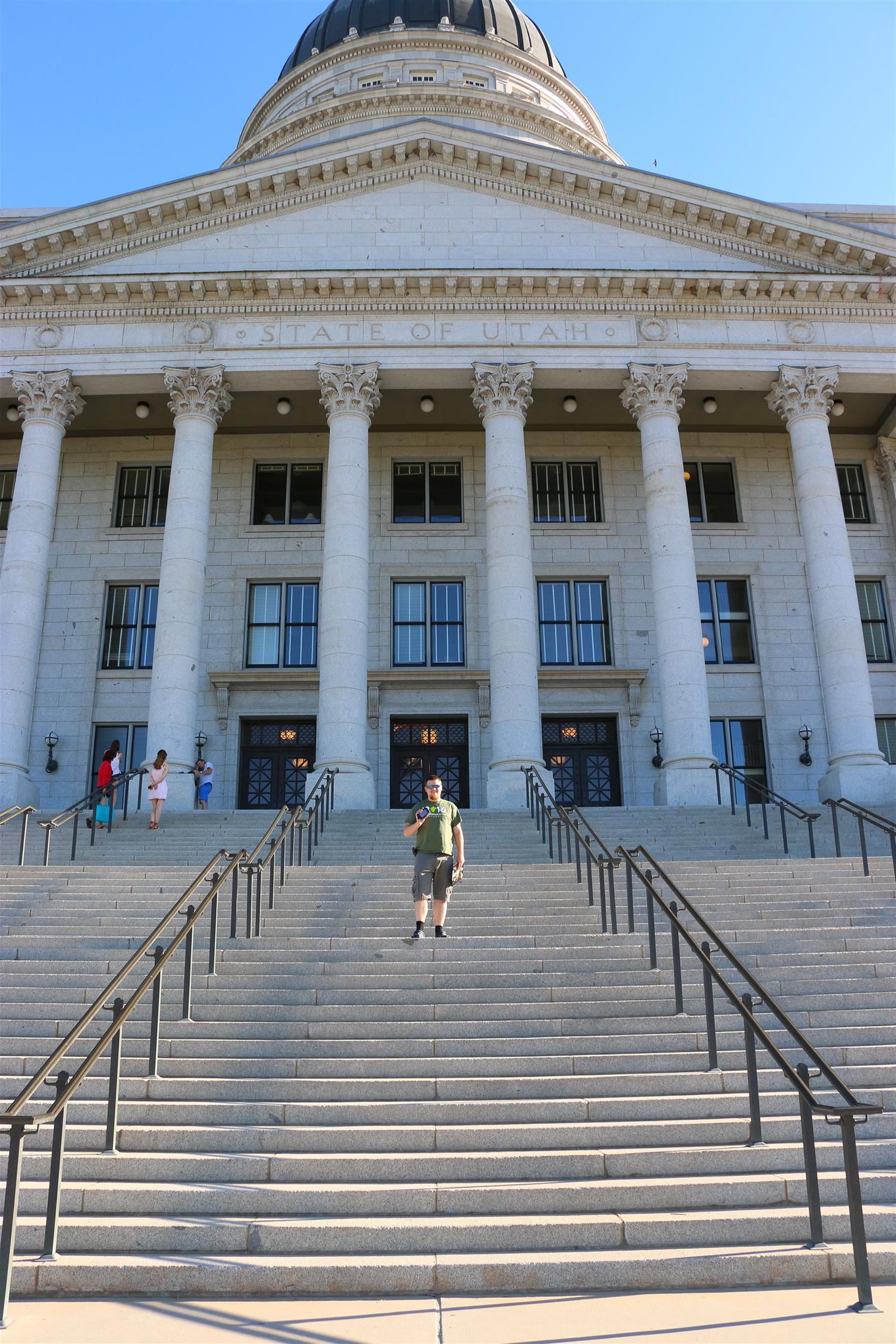
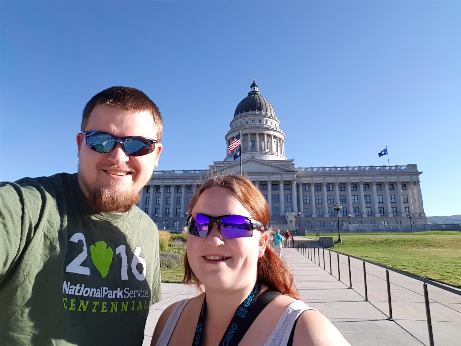
We started by skipping a webcam (this one also facing the wrong direction), and headed straight to Salt Lake City and the State Capitol Building.
We have done a lot of preparation for this trip, so we knew exactly where to park.
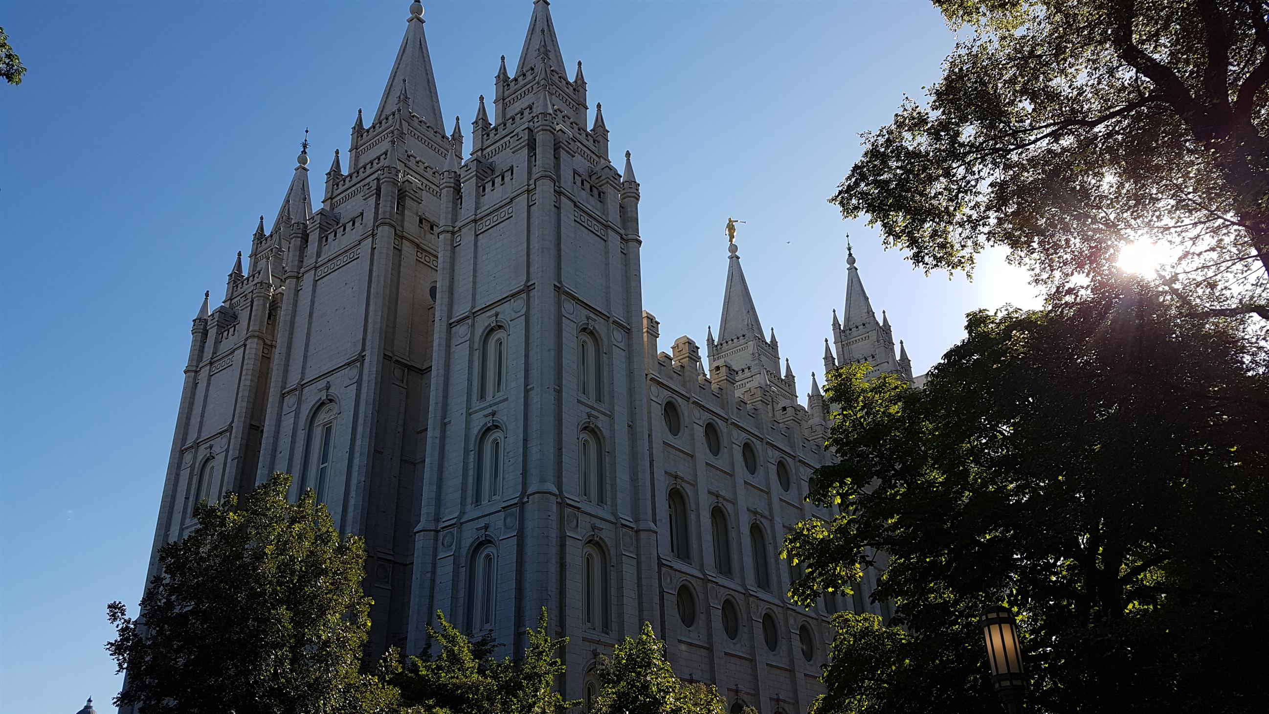
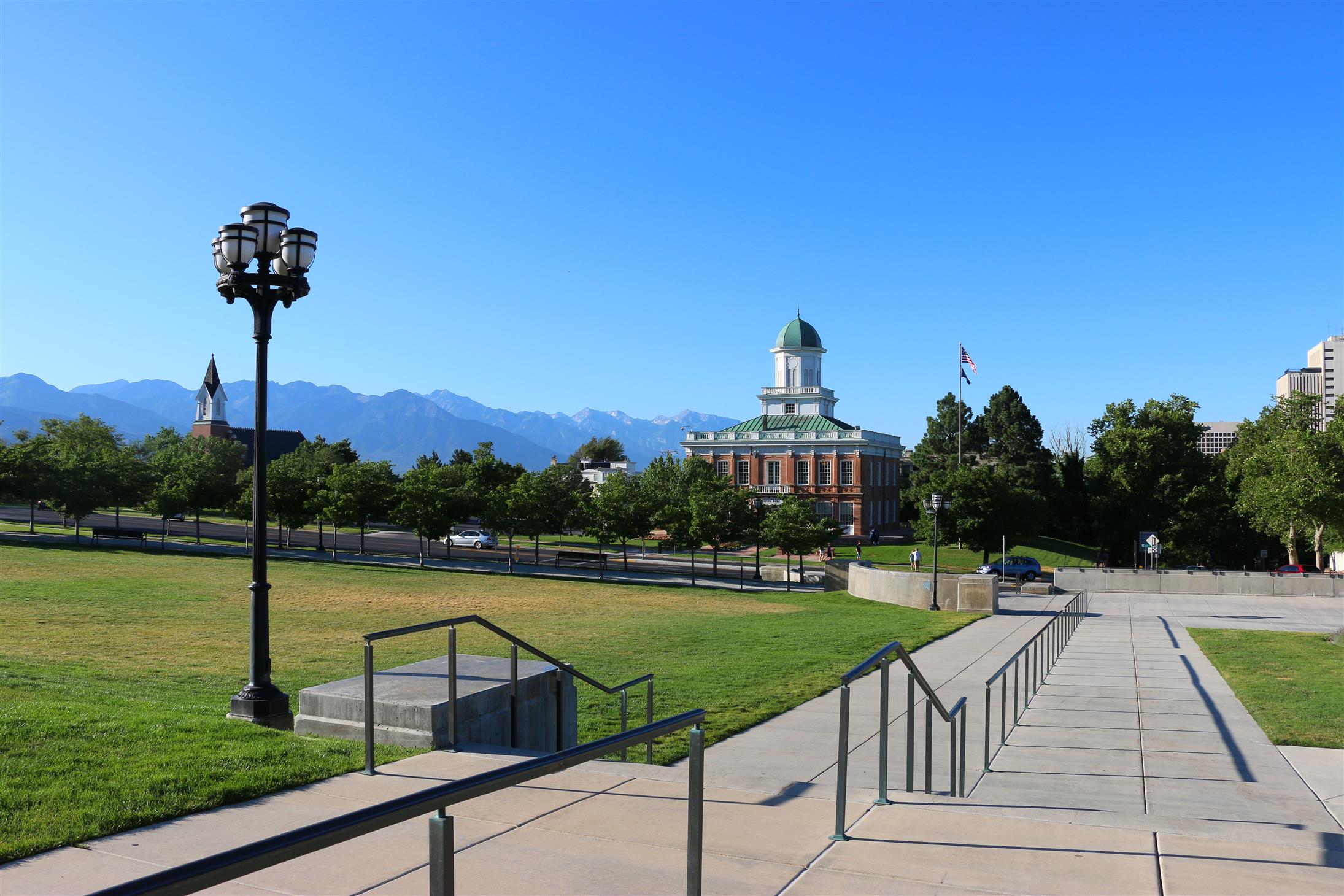
Our plan took us around to some virtual caches, and we also detoured a bit to get a travel bug hotel with many favorite points.
We spent a lot more time than we had planned walking around the area, but it was worth it! We’ll definitely come back to Salt Lake City!
We stopped at a couple virtual caches close to the road (and skipped one due to construction work), before we headed towards Brigham Young University, and the webcam cache there.
We got the webcam, and also a bonus earthcache along the way.
The next county on our list was Carbon County. But first we had to stop at a GeoTour-cache in Springville.
We stopped at couple earthcaches and a virtual along the way, before we eventually made it to Helper.
With two virtuals and an earthcache, we can finally cross Carbon County of our list too.
We stopped at several virtual caches along the way back from Helper, and to our surprise we managed to find most of what we had planned.
![]()
We eventually made it back to US-89, after the detour to Helper. The next county on the list now was Sanpete County.
Since US-89 took us straight through Sanpete, we found a lot of caches – both GeoTour-caches, virtuals and a couple extra.
We had planned only 2 GeoTour-caches in Sanpete, but we decided to try find one more, so we could get the patch.
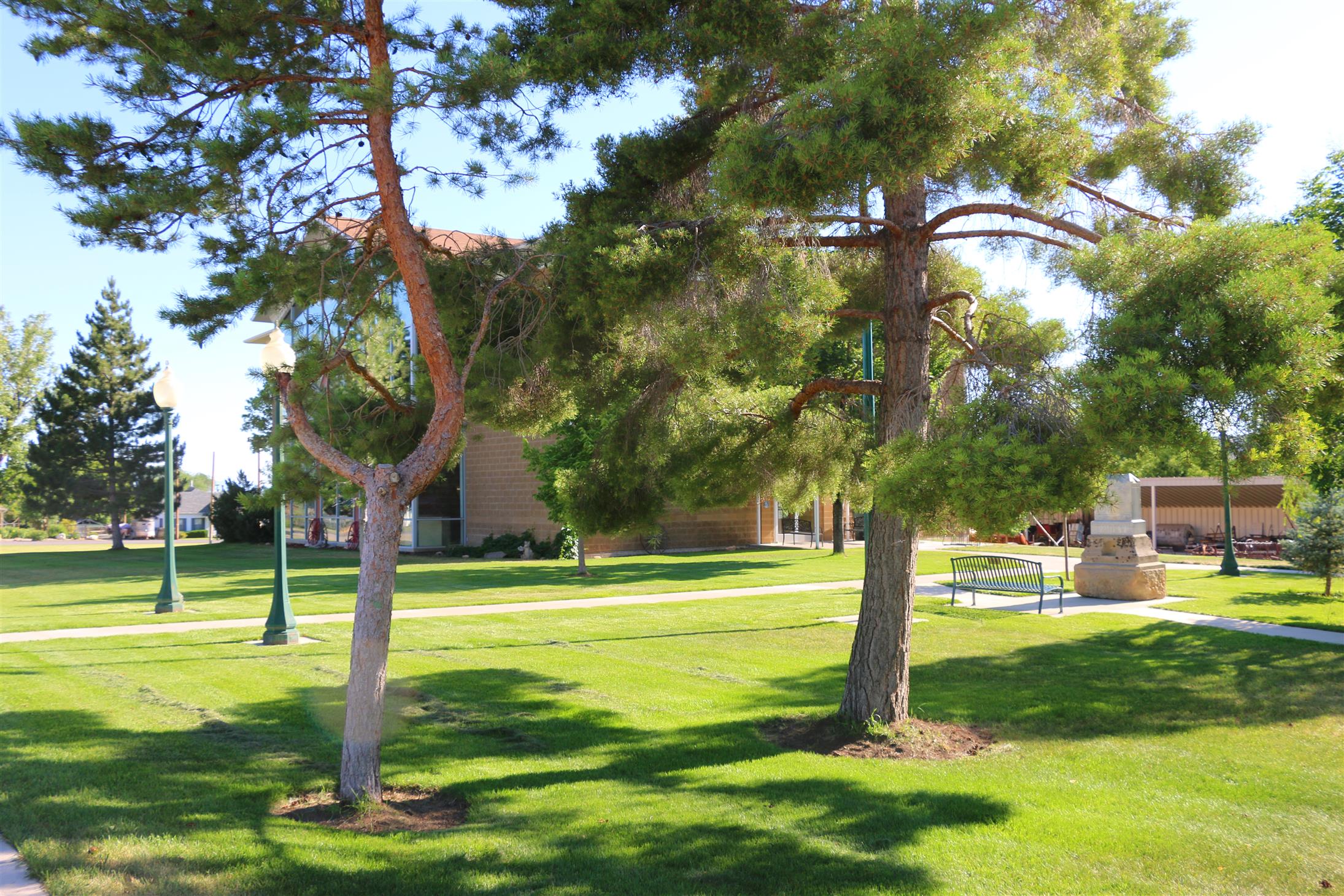
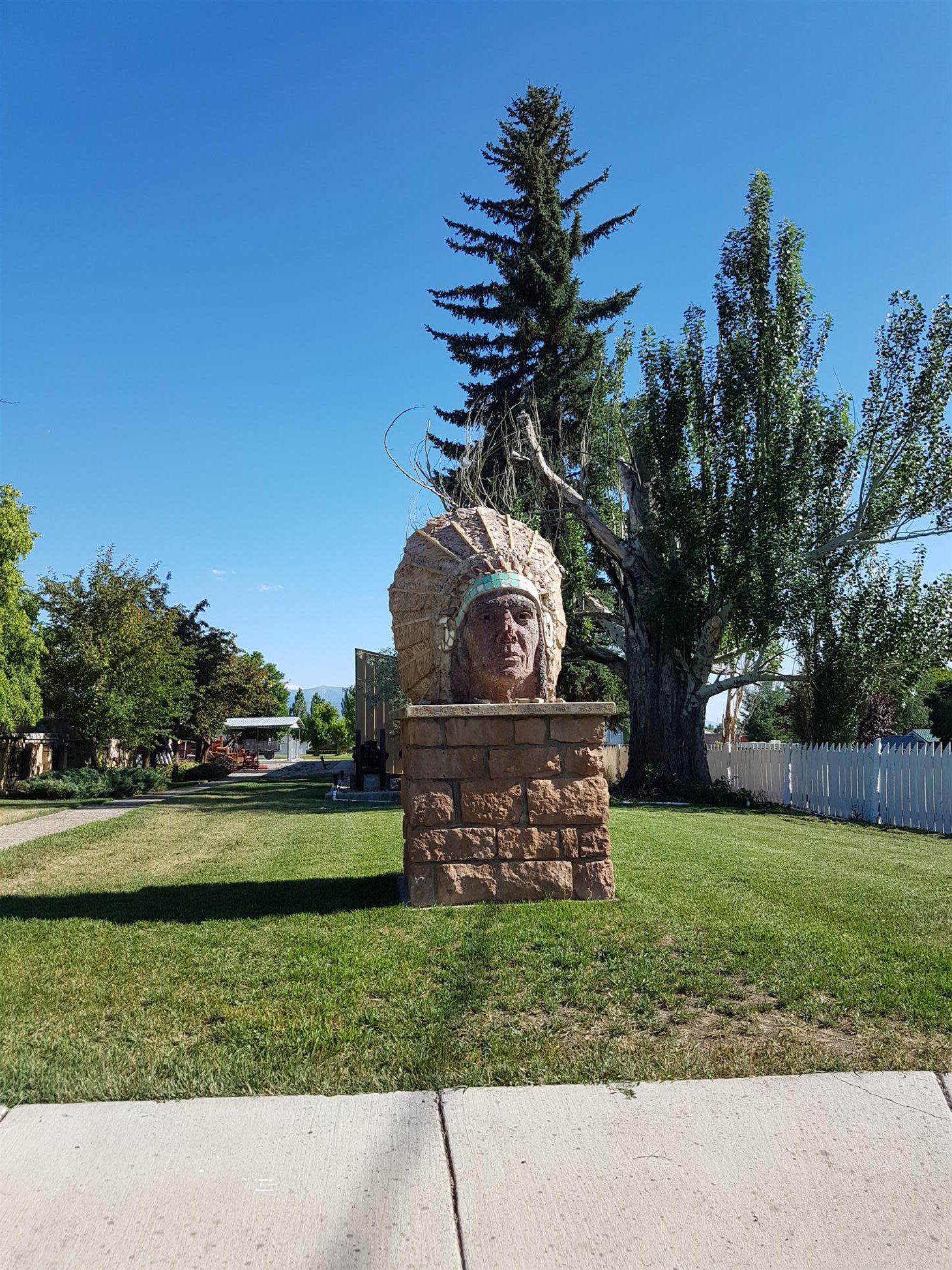
The GeoTour cache in Manti Pioneer Garden helped us secure the patch.
Only one more county left now, Piute County. But first we had to find a couple GeoTour-caches in Sevier County (we’ll have to come back next year to find the last cache we need for the patch).
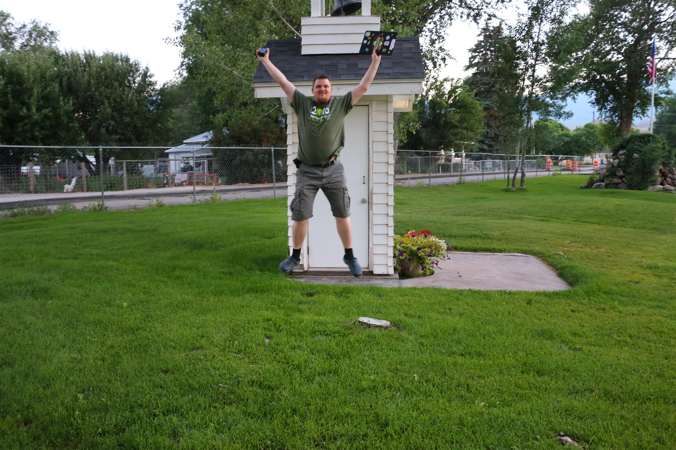
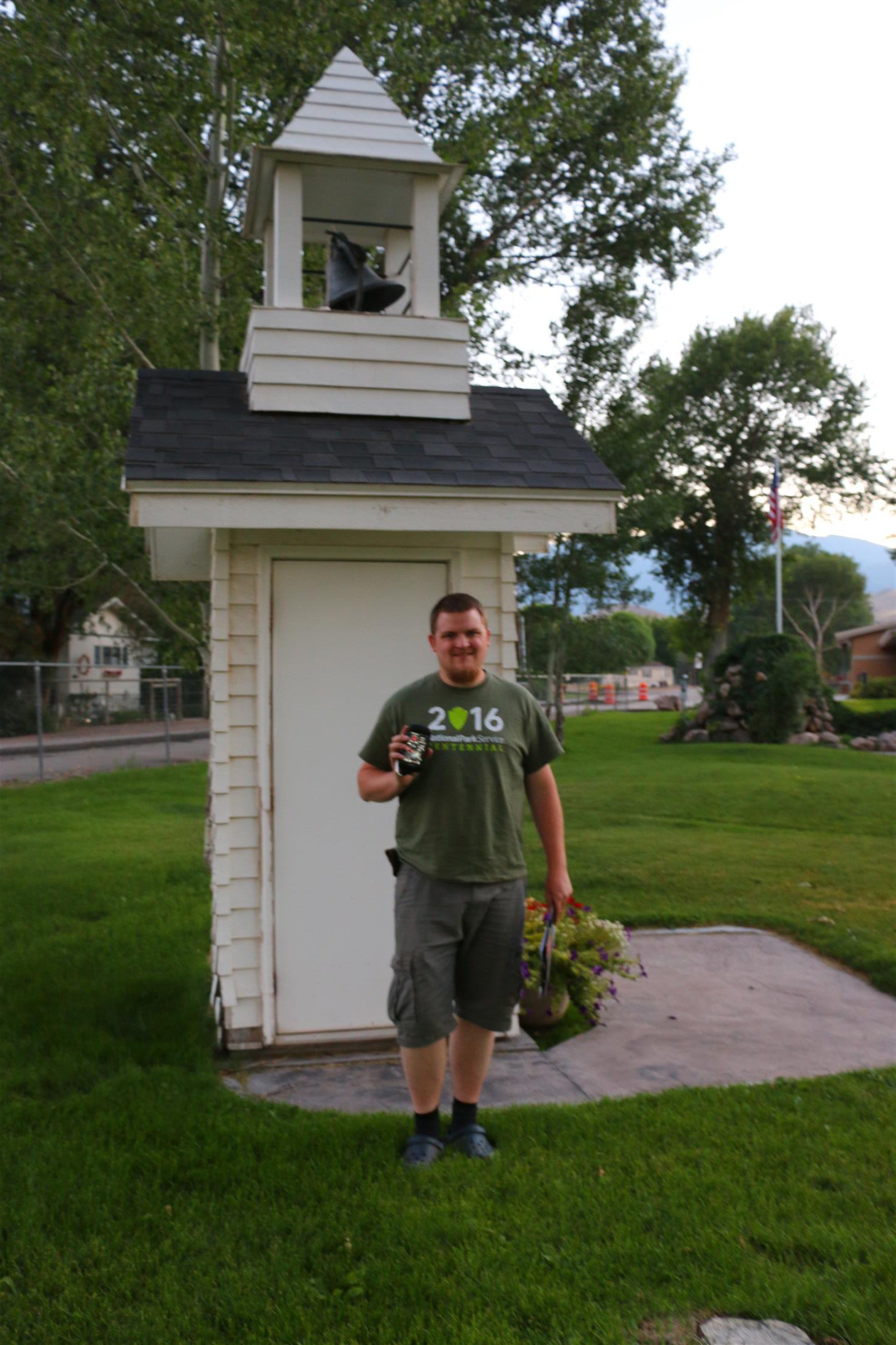
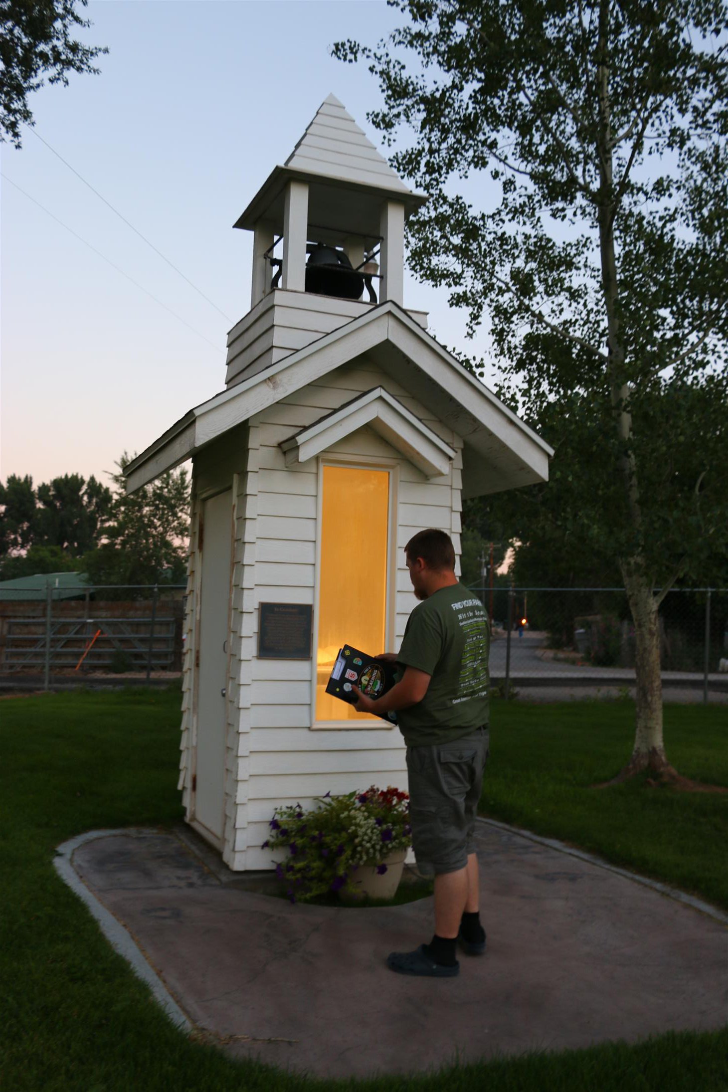
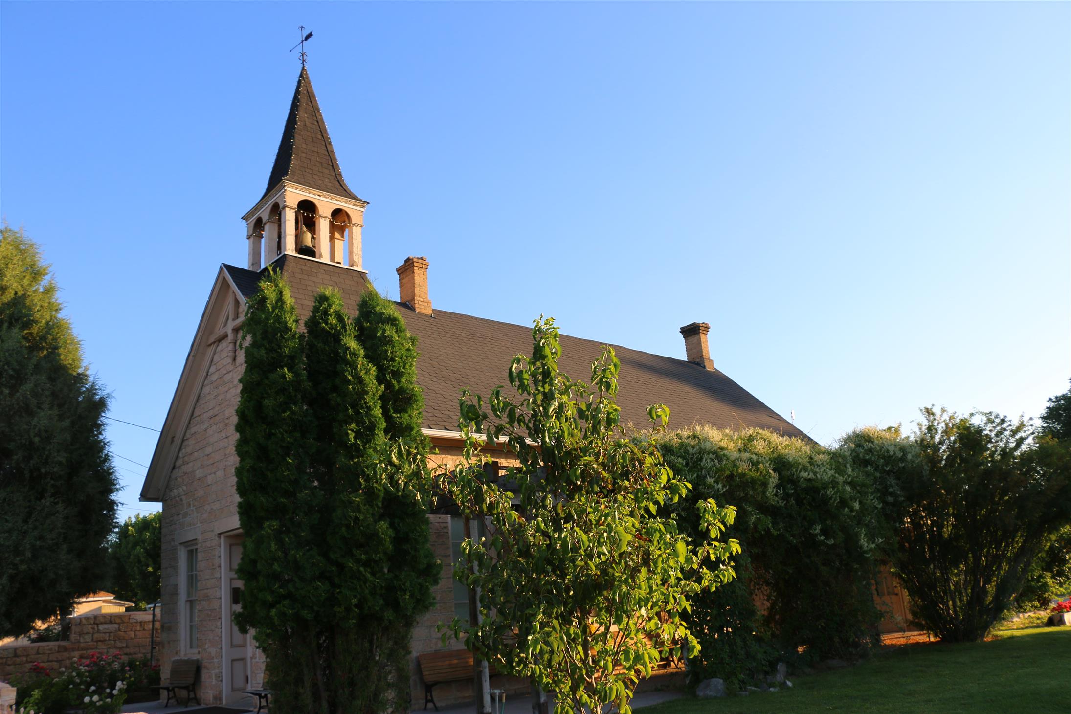
We made it to Marysvale before sunset, and the virtual cache GCJ36G The Bell Tower was the final cache we needed to complete all the counties of Utah!
(Now we just have to do them all over again to get the GeoTour-patches 😉 )
We found the GeoTour-cache right next to this one, and one more in Junction, before it was time to head towards our hotel.
We had booked a room at Ruby’s Inn in Bryce Canyon, so we still had a long way to drive.
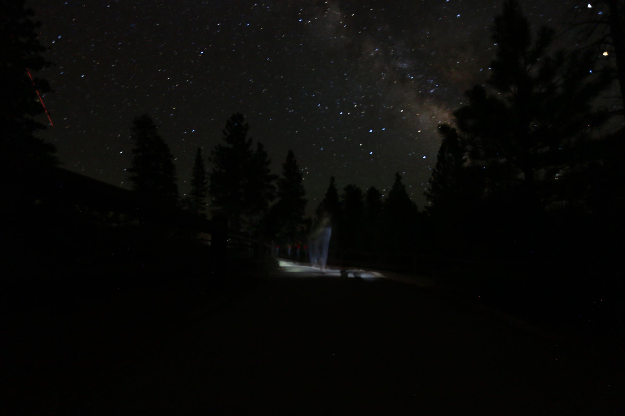
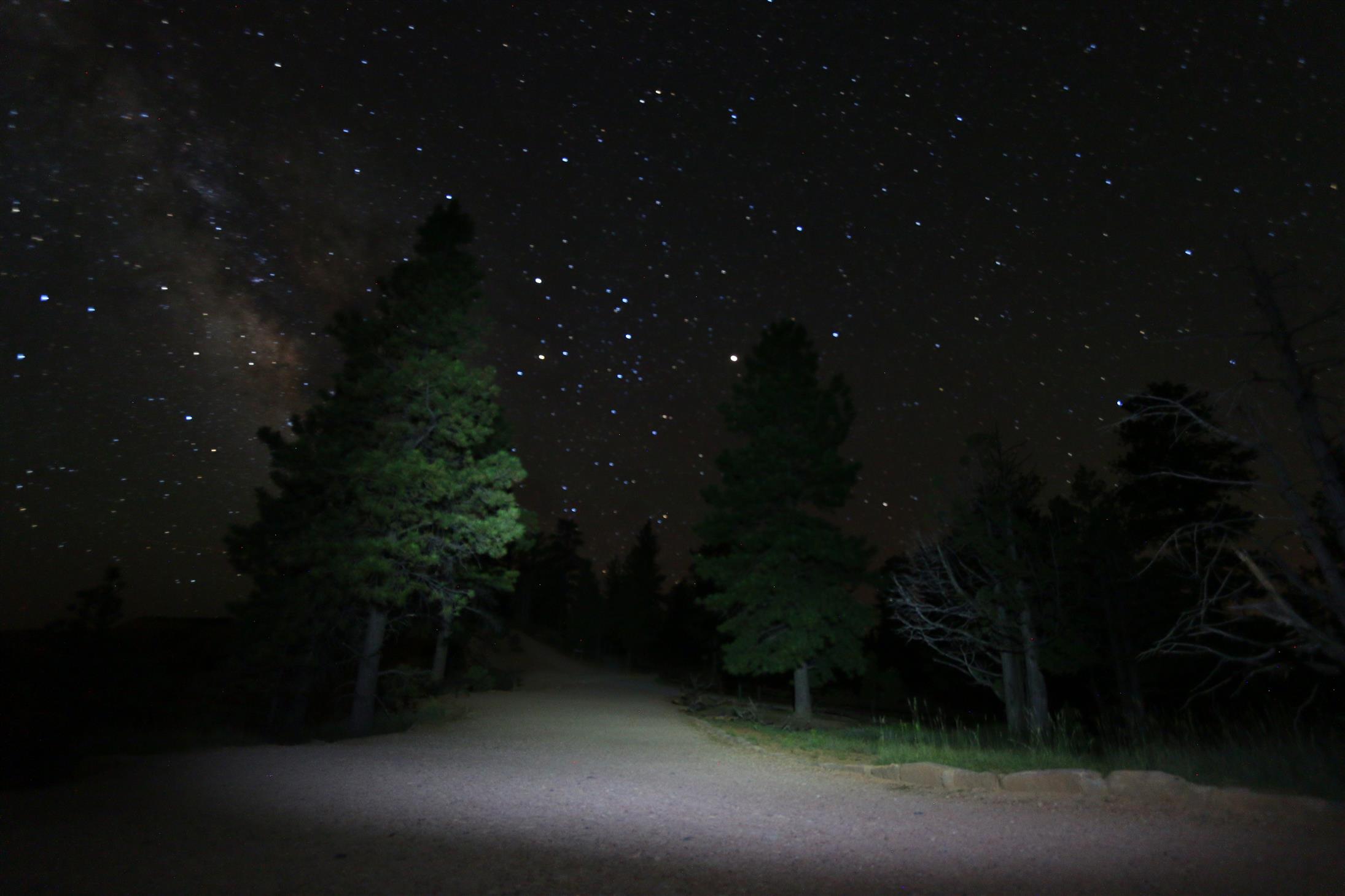
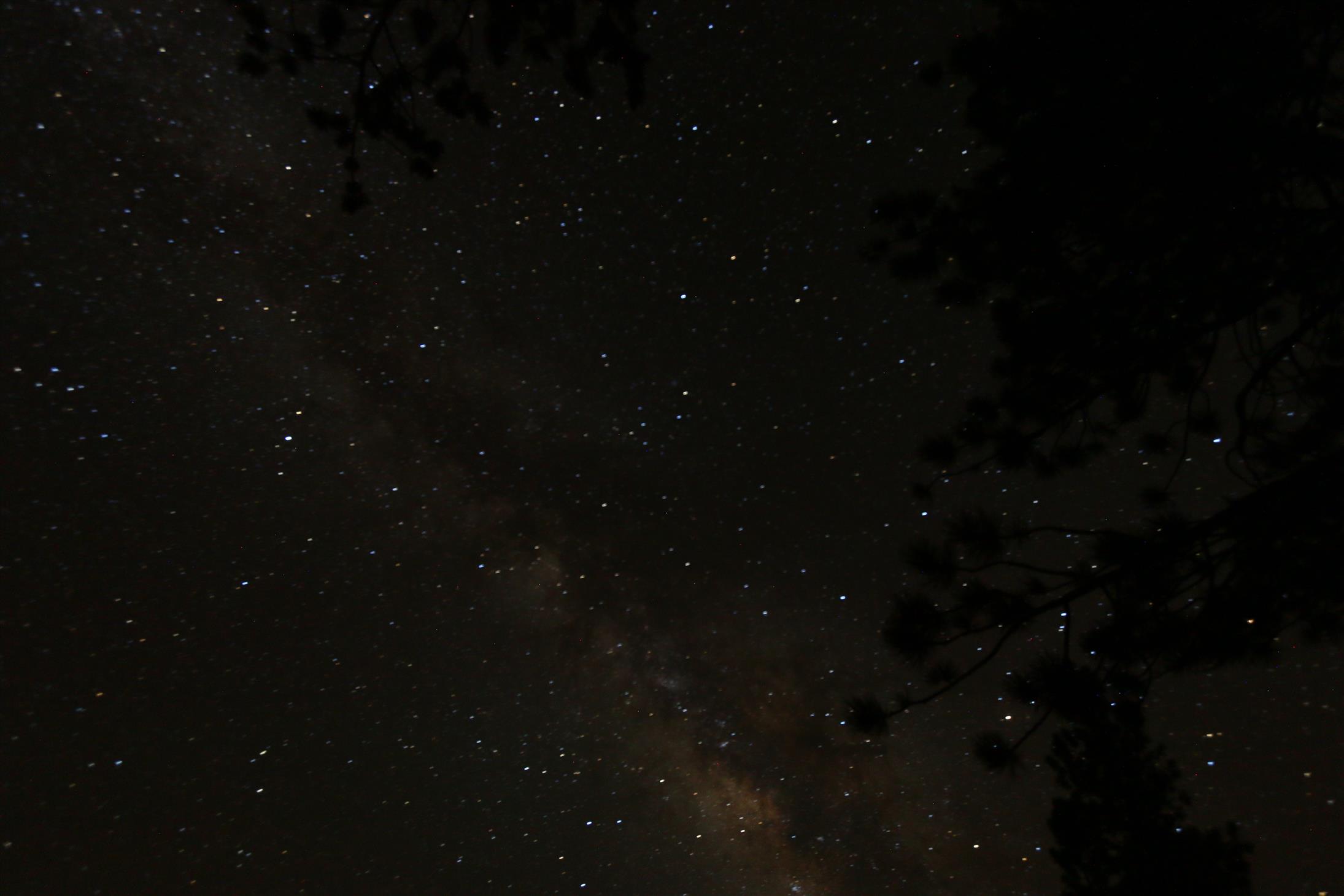
We arrived at Ruby’s around half past ten, not too bad. After checking in, we decided to head into Bryce Canyon NP, to do some night photography.
Not much people around at this time of day, so we were almost alone – awesome!
We’ve gotten to see so many parts of Utah already on this trip, and we still have a couple days left. This really is Life Elevated!
…29 counties, some big and small